Achenkirch - Ampelsbacher Hof - Hofalm - Achenkirch
Important Infomation
🔖
Route Length
9.4 km
🜏
Elevation Gain
320 hm
🞍
Highest Point
1196 hm
🔲
Elevation Loss
320 hm
Time Uphill
01:30 h
Time Downhill
01:19 h
🏀
Route Time Total
03:00 h
🞽
Difficulty
Easy
Starting Point: Achenkirch, Bushaltestelle "Abzweigung Steinberg"
End Point: Achenkirch, Bushaltestelle "Abzweigung Steinberg"
Elevation Profile
Description
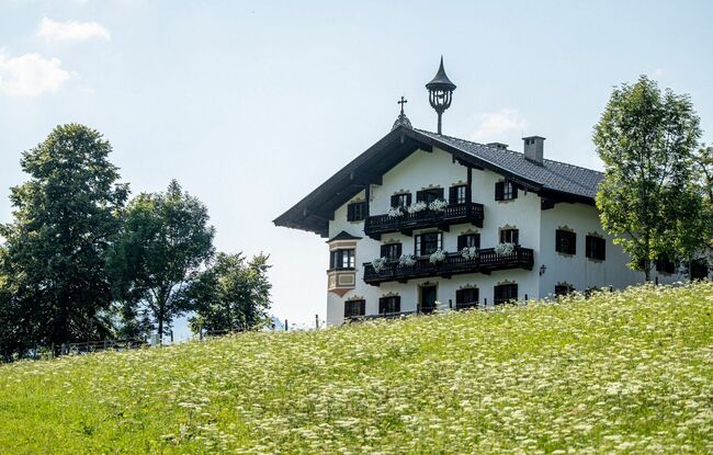
From the bus stop “Achenkirch Abzw Steinberg a.R” take the underpass and walk on the road in the direction Steinberg before turning left to the farmhouse “Ampelsbacher Hof” (not serviced). Walk on the beautiful meadow path until you reach the fishpond and from there, turn right to the “Hofalm” mountain hut (1,196 metres, not serviced). Follow the route you took on the ascent back to the valley.