464 Gufferthütte
Important Infomation
🔖
Route Length
27.3 km
🜏
Elevation Gain
710 hm
🞍
Highest Point
1475 hm
🞽
Difficulty
Medium
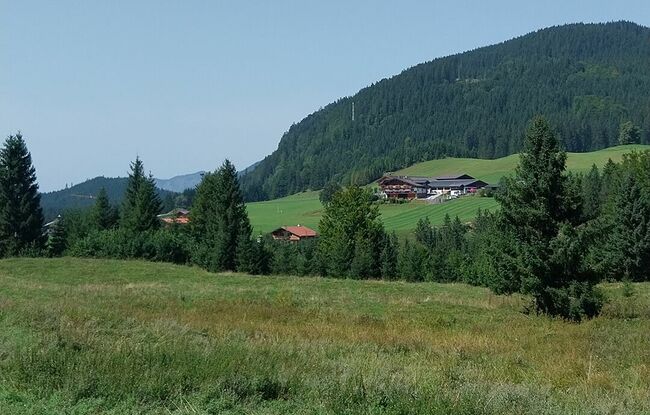
Starting Point: Achenkirch, junction to Steinberg
End Point: Achenkirch, junction to Steinberg
Route Type: Roundtrip
Elevation Profile


Description
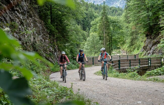
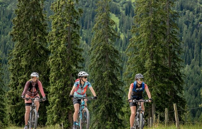
From the starting point the route leads over the Alte Steinbergstraße (route 433) to the car park at the Köglboden (between Achenkirch and Steinberg am Rofan). From there, a forest road climbs alongside the Ampelsbach stream. After 5 km, the route crosses the stream, turns left and climbs at a 10% grade. The route turns right and after a gentle climb reaches the Gufferthütte (serviced). Follow the route you took on the ascent back to the first left turn. The cycle path leads straight on to Bärenmoos in the direction of Achenwald and via the Achensee Cycle Path (route 29) back to Achenkirch.