461 Rund um den Unnutz
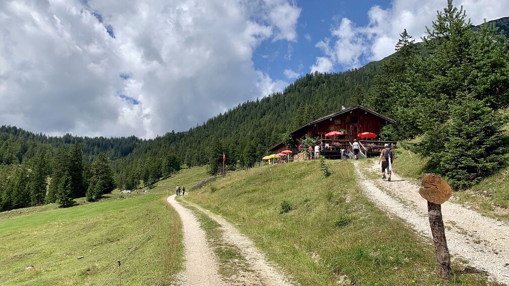
on the Köglalm © Achensee Tourismus
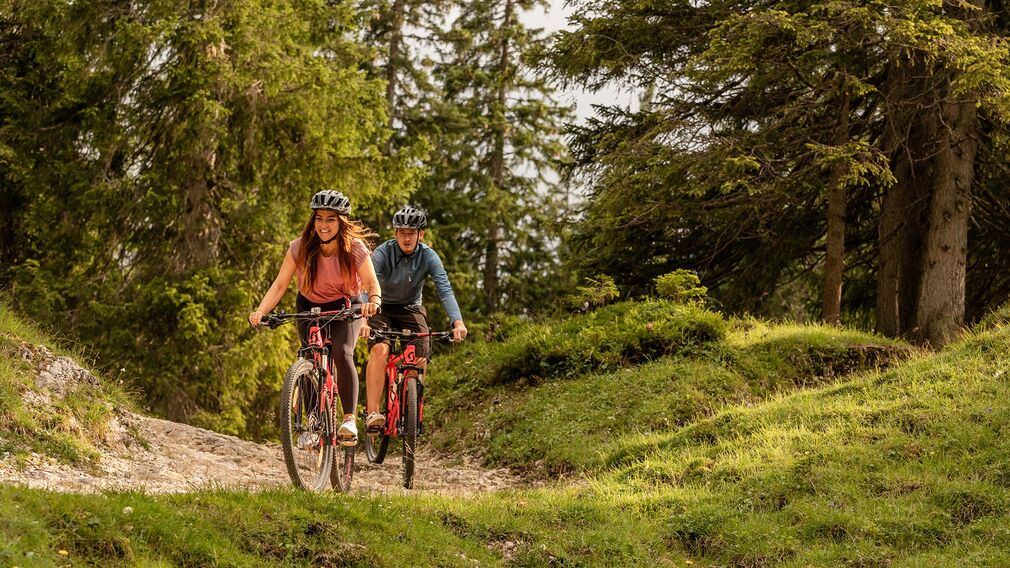
on tour on the mtb route "Around the mountain Unnutz" © Achensee Tourismus
on tour on the mtb route "Around the mountain Unnutz" © Achensee Tourismus
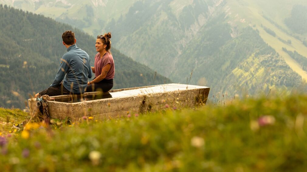
Rest at the water trough - during the bike tour "Around the mountain Unnutz" © Achensee Tourismus

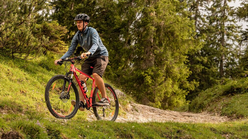
on the bike route "Rund um den Unnutz" in the valley Schönjoch © Erwin Haiden, nyx.at
the Schönjochalm in Steinberg © Achensee Tourismus
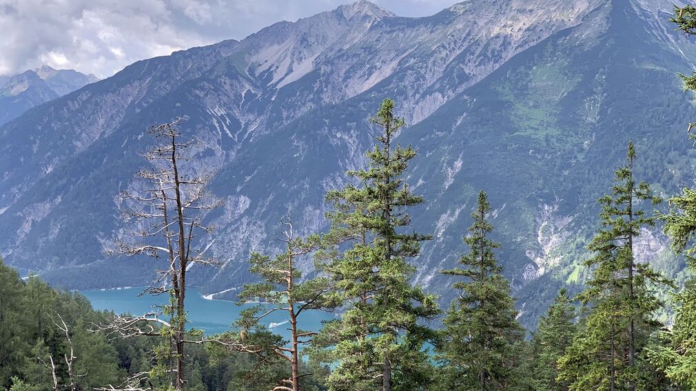
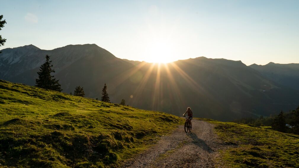
view to the Achensee during the bike tour "Around the mountain Unnutz" © Achensee Tourismus
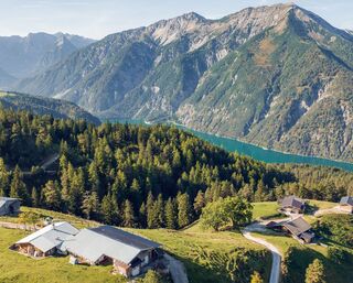
From the starting point, the tour leads in a southerly direction. After about 200 metres turn left, follow the path to the federal road and cross it. From the Resort Achensee, a forest road climbs past the viewing platform “Kaiser-Maximilian-Rast" to the Kögalm (serviced) and continues to the Schönjochalm (serviced) through the Schönjochtal to Steinberg am Rofan. Signposts point to the state road and from there to the Obere Bergalm (not serviced). From there, a forest road leads along the “Alte Steinbergwerg” to Achenkirch. At the car park Wies, the route continues on the left and returns to the starting point on the village road.
Note: The distance indicated is for the complete loop.
more
less
Infrastructure on site


Difficulty
Hard
Route Length
26.6 km
Route Time Total
03:00 h
Elevation Gain
730 hm