452 Risstal-Plumsjoch
Important Infomation
Elevation Profile
Description
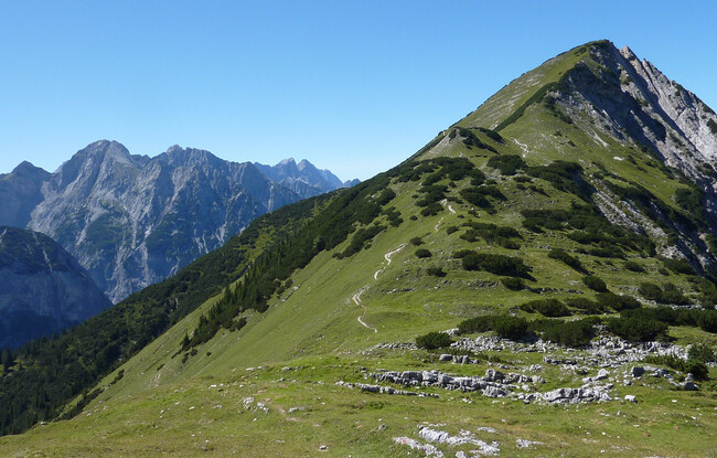
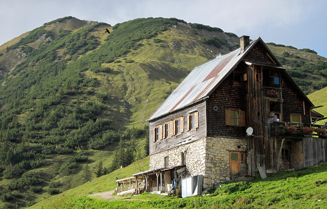
The tour starts before the Große Ahornboden (approx. 9 kilometres after the toll booth of the Eng at the car park P9). The route climbs gently over a wide forest road which gets uneven in the upper section to the Plumsjoch (1,669 metres). Riders have the option to walk their bikes to the Alpengasthof Gern Alm and then continue the tour to Pertisau (route 426 and 463).
The return to the starting point is via the same route or can be extended over a wider distance. From Pertisau, follow the route along the lake to Maurach and Achenkirch to the Austrian-Bavarian border. The route leads past the Sylvenstein reservoir and continues to the Ahornboden in Hinterriss in the Risstal valley (ca. 70 kilometres).


