436 Panoramaweg
Important Infomation
🔖
Route Length
11.6 km
🜏
Elevation Gain
280 hm
🞍
Highest Point
1104 hm
🞽
Difficulty
Medium
Starting Point: Pertisau, car park southeast of the Seehotel St. Hubertus
End Point: Pertisau, car park southeast of the Seehotel St. Hubertus
Route Type: Roundtrip
Elevation Profile


Description
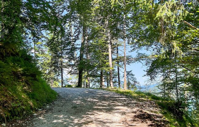
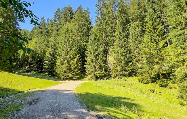
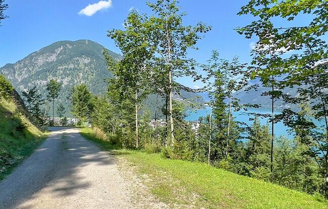
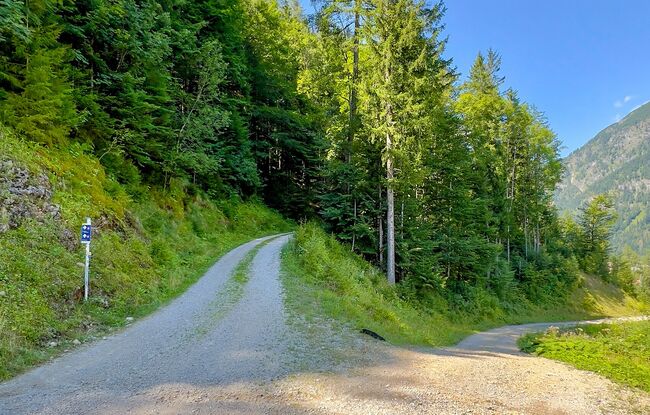
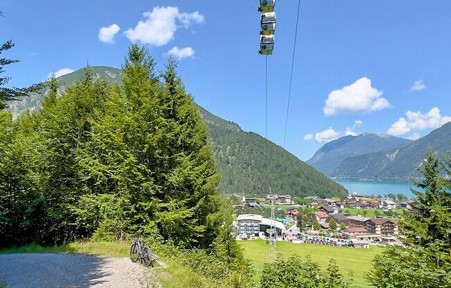
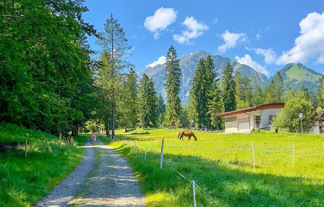
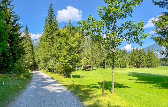
The route starts on the forest track in the direction of the Bärenbadalm hut (serviced). Follow the forest road through the Gufel forest and down into the Tristenau valley. Cross the Tristenau stream and continue into the valley. The route leads past the toll station of the Karwendel valleys and the valley station of the Karwendel cable car before returning to Lake Achensee.