433 Alte Steinbergstraße
Important Infomation
🔖
Route Length
7.3 km
🜏
Elevation Gain
160 hm
🞍
Highest Point
1083 hm
🔲
Elevation Loss
120 hm
🞽
Difficulty
Easy
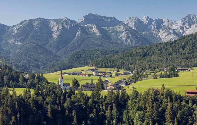
Starting Point: Achenkirch, car park Wies
End Point: Steinberg am Rofan
Elevation Profile
Description
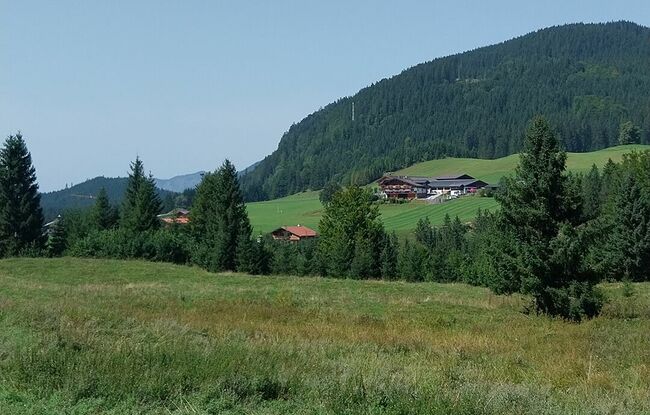
The road connects Achenkirch and Steinberg. The road to the starting point is to the right of the junction to Steinberg. From there, a forest road climbs through beautiful forests and meadows. The tour leads to the Obere Bergalm (not serviced). From here, the state road continues to Steinberg.