Pertisau - Feilalm - Feilkopf - Pertisau
Important Infomation
Elevation Profile


Description
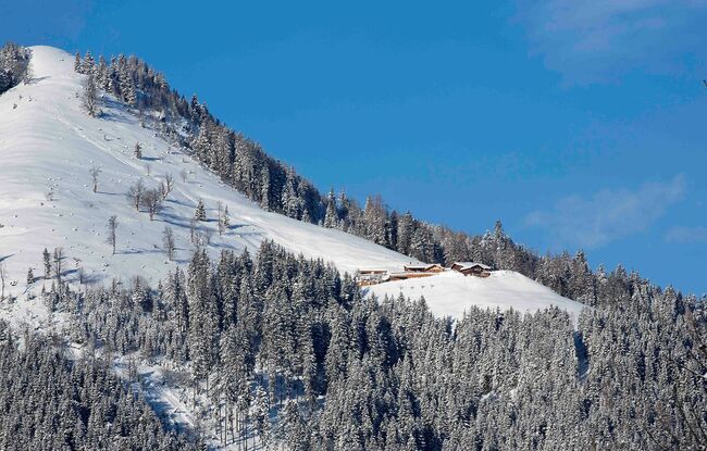
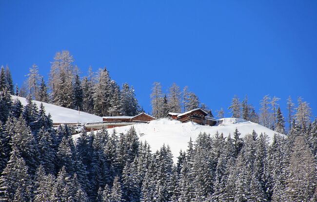
From the car park next to the toll booth at the entrance to the Karwendel valleys, follow the toll road straight on in a westerly direction to the Gerntal. After ca. 20 minutes, there is a signpost to the Feilalm on the left next to the road. Climb the trail in the direction of the Feilalm until you reach the forest road and follow the signpost to the Feilalm (1,380 metres). Behind the mountain hut, follow the forest road to the junction Gütenbergalm-Feilalm. Keep right and after 20 to 30 minutes, you have reached the summit of the Feilkopf (1,562 metres).
The return is via the same route. Alternatively, walk from the summit in a north-easterly direction and descend via the alpine pastures to the Feilalm. Continue along the wintry forest path to the Gerntal or follow the forest path (signpost "Tunigenwiese") you took on the ascent.
Notice: Walking time varies depending on snow conditions.