Pertisau - Feilalm - Feilkopf - Pertisau
Important Infomation
🔖
Route Length
16.6 km
🜏
Elevation Gain
585 hm
🞍
Highest Point
1562 hm
🔲
Elevation Loss
585 hm
Time Uphill
02:15 h
Time Downhill
01:45 h
🏀
Route Time Total
04:00 h
🞽
Difficulty
Medium
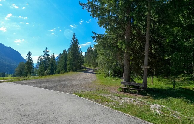
Starting Point: Pertisau, car park Karwendeltäler
End Point: Pertisau, car park Karwendeltäler
Elevation Profile


Description
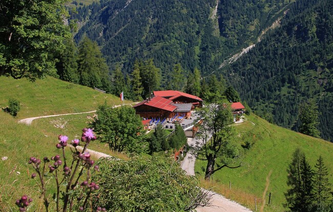
From the toll booth at the entrance to the Karwendel valleys in Pertisau, walk along the toll road past the Pletzachalm mountain hut and continue to the Gern Alm mountain hut. Turn left and follow the forest path to the Feilalm (1,380 metre). Behind the mountain hut, the trail climbs to the junction „Gütenbergalm - Feilkopf“. Turn right and after 20 to 30 minutes you arrive at the summit of the Feilkopf (1,562 metre). The return is via the same route or via the hiking trail (signpost „Tunigenwiese“).