Panoramawanderung Achenkirch
Important Infomation
Elevation Profile
Description
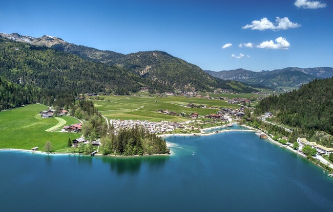
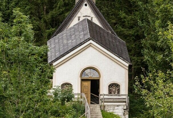
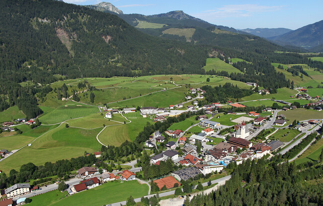
This circular walk goes around the entire village of Achenkirch. The tour starts from the car park of the Christlum lifts, which is the start and end point of the loop. Walk for ca. 100 metres to the Karwendelweg path, which leads over a high moor to the golf course. The path descends to the Blaserbach gorge, then climbs to the Falkenmoos forest path (Kalvarienkirche church). Walk past the church back to the valley until you arrive at the village road. Keep right until you reach the bus stop “Achenkirch Abzw. Steinberg”. From here, turn left and walk through the underpass and follow the signposts “Panoramaweg”. This route takes you to the other side of the valley of Achenkirch and back to the lake (signposts “Panoramaweg“ and “Wanderweg zum See“). Once you have arrived at the Hotel Fischerwirt am See, walk past the Alpen Caravan Park Achensee. Follow the signposts “Schrambachalm” and “Ortsmitte” on beautiful paths alongside meadows. The last section runs along the edge of the forest past the Hotel Das Kronthaler and back to the starting point.