Gramai Alm - Lamsenjochhütte - Lamsenspitze - Gramai Alm
Important Infomation
🔖
Route Length
11.3 km
🜏
Elevation Gain
1230 hm
🞍
Highest Point
2508 hm
🔲
Elevation Loss
1230 hm
Time Uphill
04:00 h
Time Downhill
03:15 h
🏀
Route Time Total
07:15 h
🞽
Difficulty
Hard
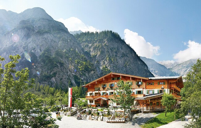
Starting Point: Pertisau, Gramai Alm
End Point: Pertisau, Gramai Alm
Elevation Profile
Description
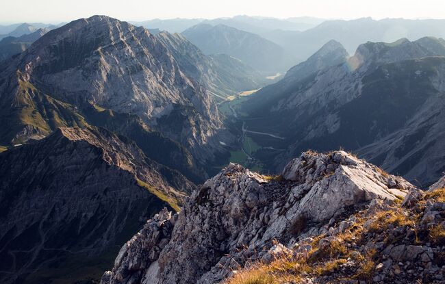
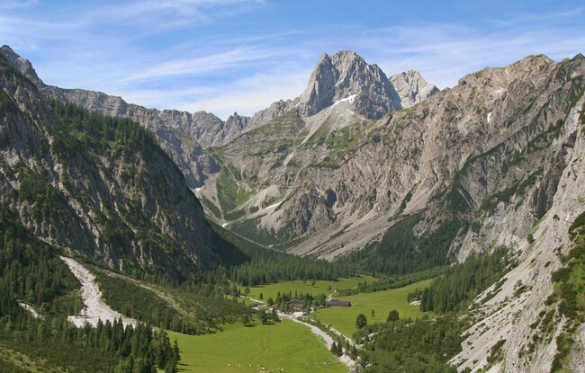
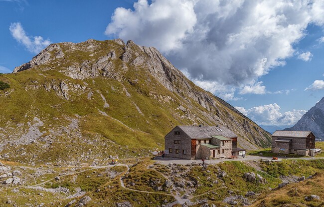
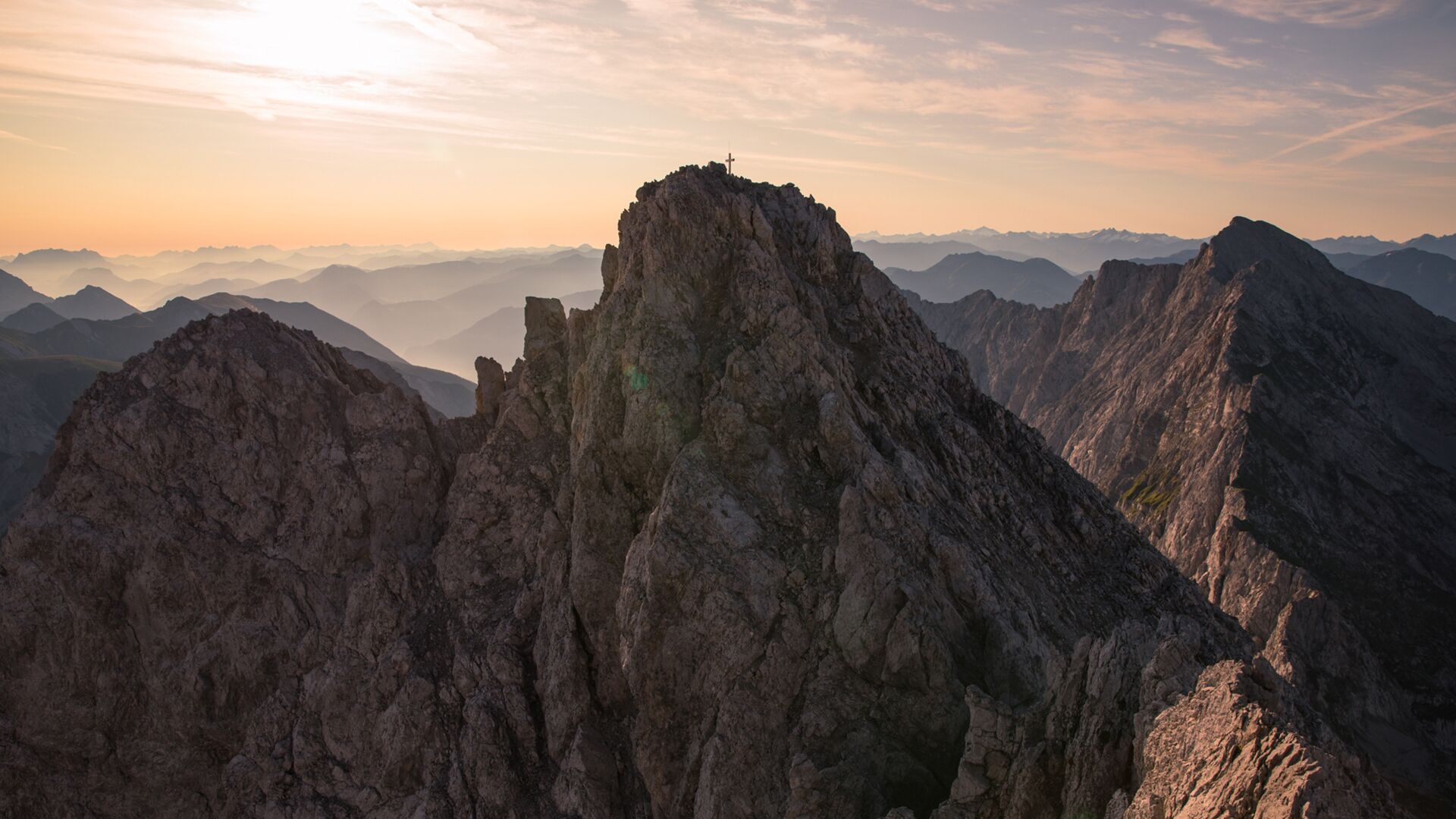
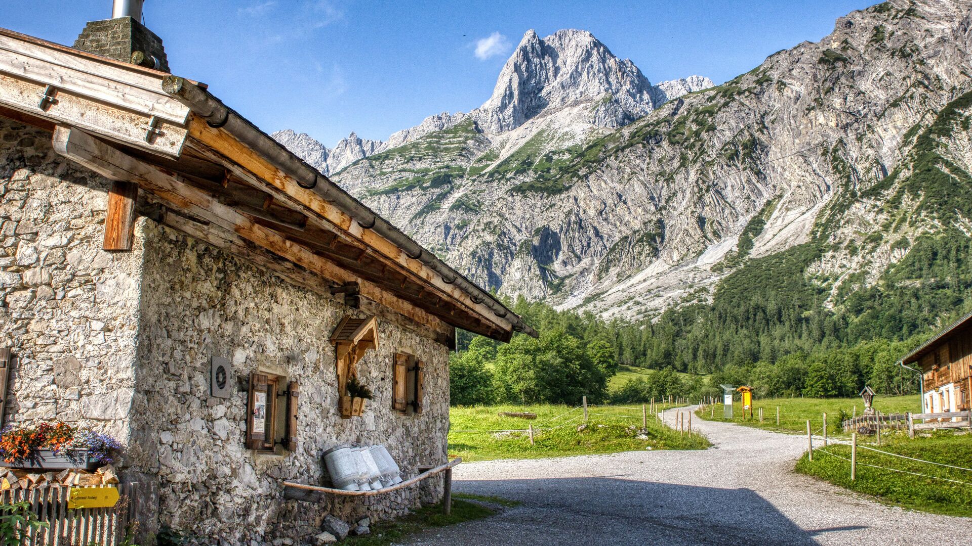
From the Gramai Alm (1,263 metres), walk past the mountain hut Lamsenjochhütte (1,953 metres). The trail is well signposted and meanders uphill next to the talus field to the foot of the rock. Follow the trail (secured with a steel rope) as it climbs, partially exposed, to the Lamsenscharte. Turn right and walk through the Lamskar. Another partially exposed trail leads uphill, secured with iron steps and a steel rope, until it reaches a talus field below the summit (2,508 metres). The return is via the same route. This tour requires sure-footedness and a head for heights!