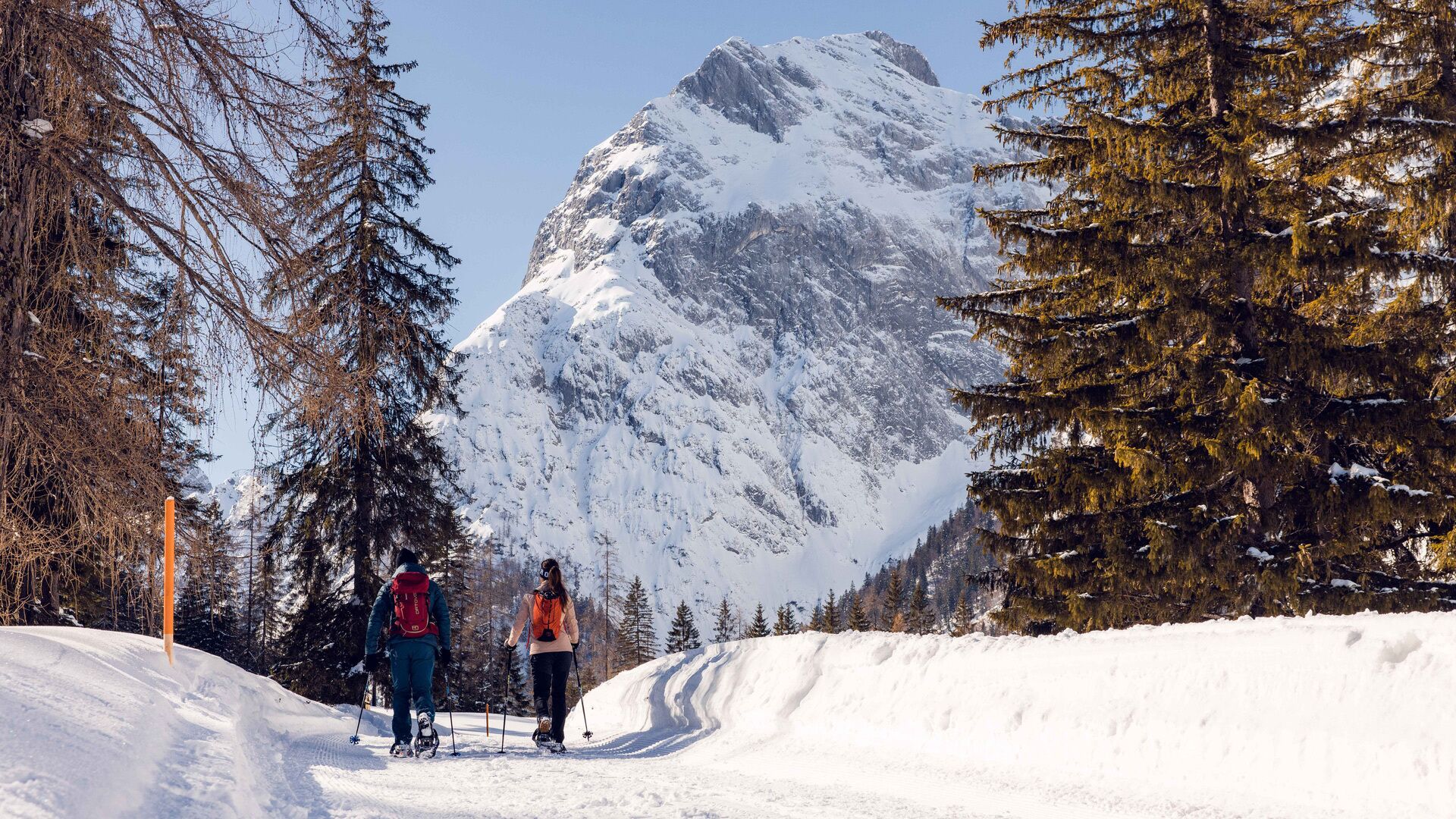
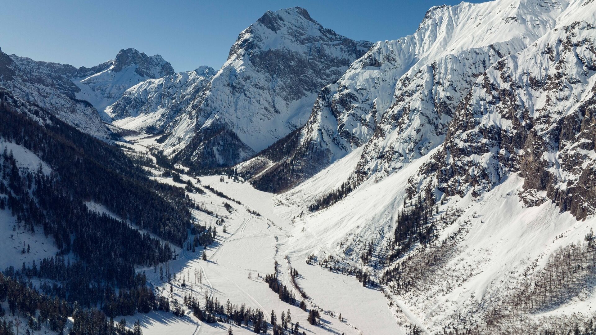
Pertisau - Falzthurnalm - Gramai Alm - Pertisau
Important Infomation
🔖
Route Length
14.1 km
🜏
Elevation Gain
280 hm
🞍
Highest Point
1263 hm
🔲
Elevation Loss
280 hm
Time Uphill
02:45 h
Time Downhill
02:45 h
🏀
Route Time Total
05:30 h
🞽
Difficulty
Easy
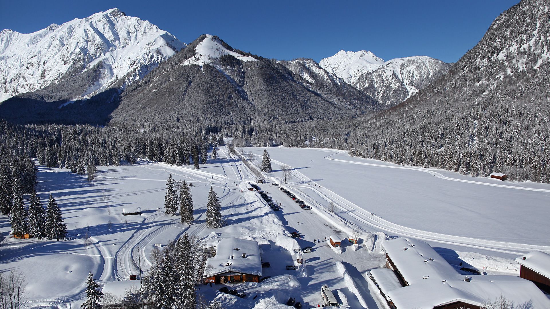
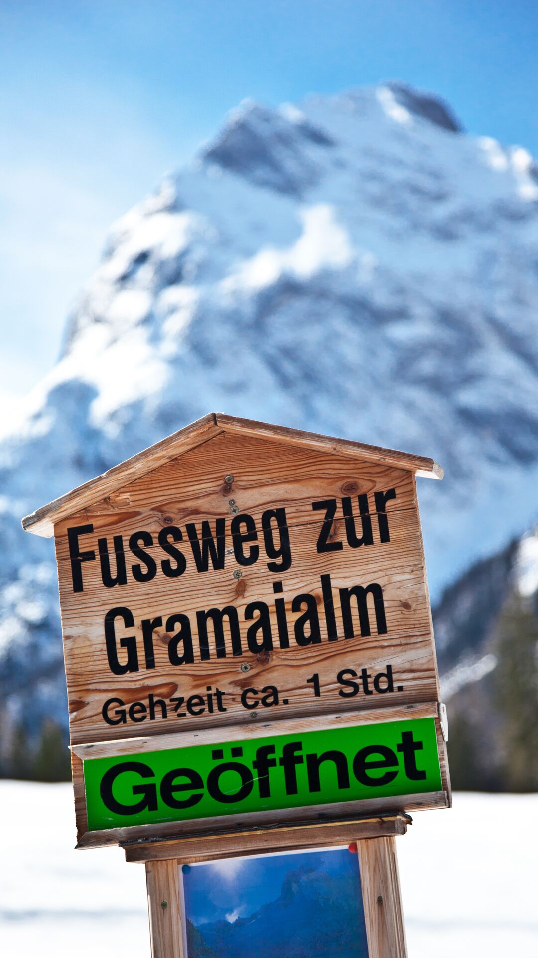
Starting Point: Pertisau, car park Karwendeltäler (cross-country skiing centre)
End Point: Pertisau, car park Karwendeltäler (cross-country skiing centre)
Elevation Profile
Description
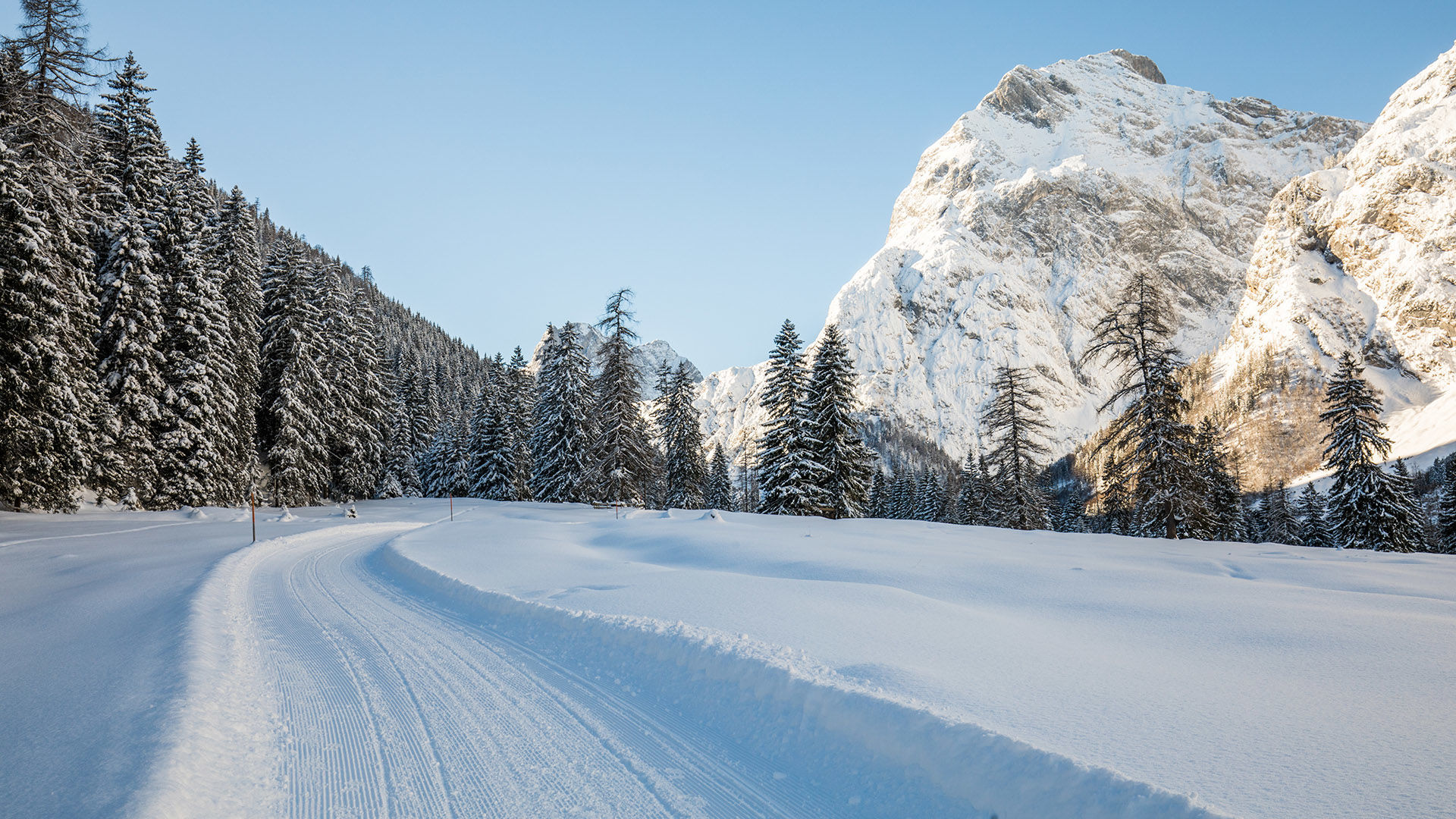
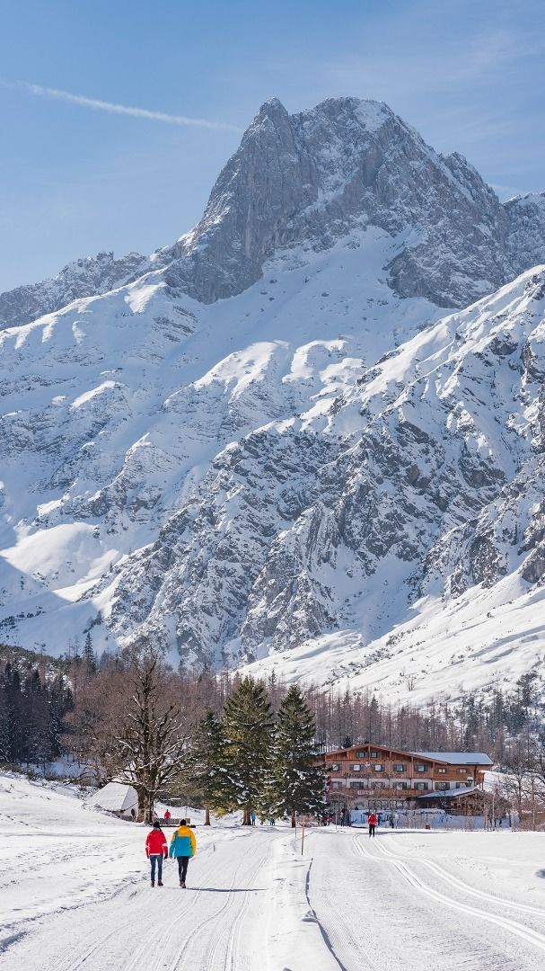
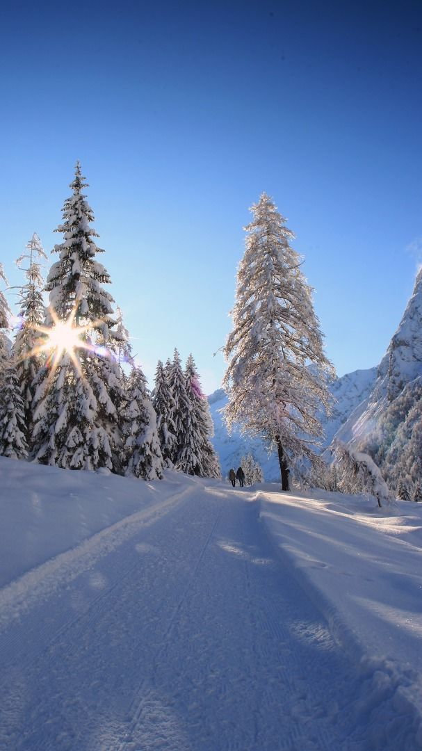
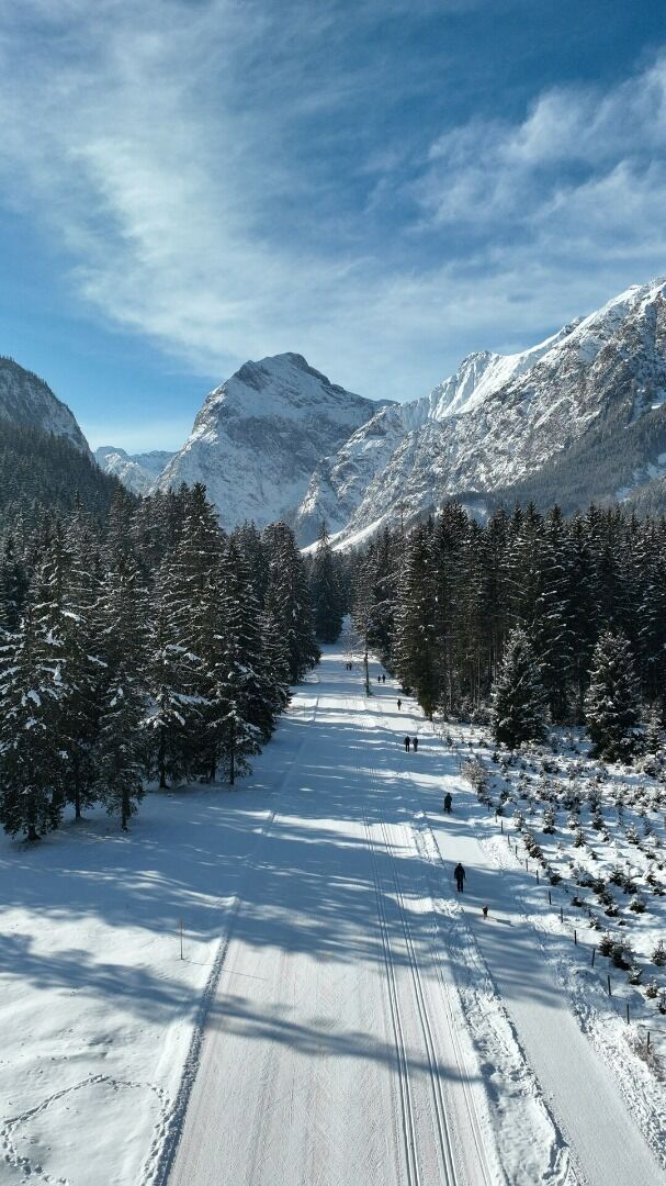
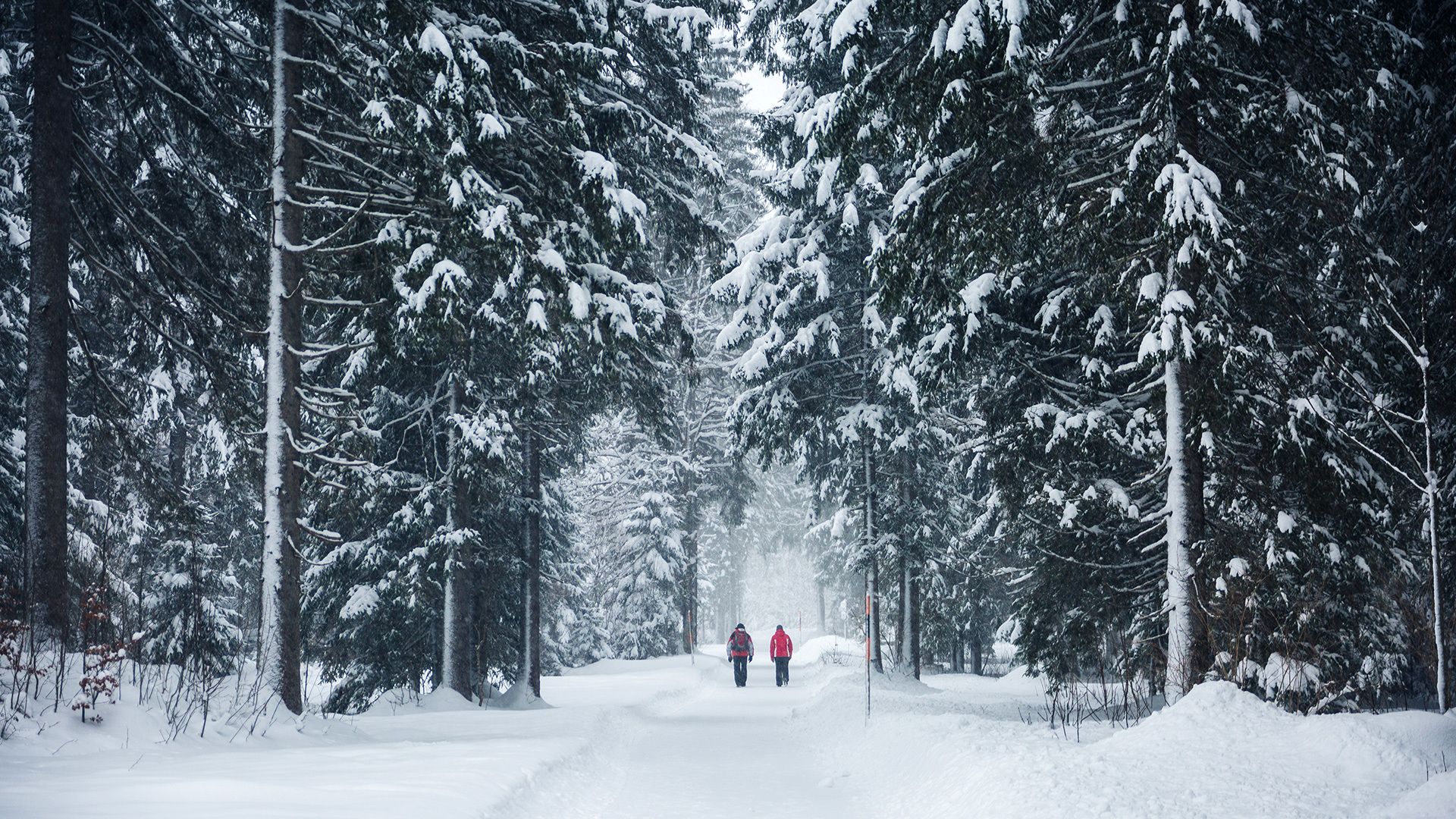
From the toll booth at the entrance to the Karwendel valleys (cross-country skiing centre) in Pertisau, walk to the end of the car park. Turn left and follow the asphalt footpath to the Falzthurnalm mountain hut. From here, a hiking trail takes you through alpine meadows to the Gramai Alm mountain hut. The return is via the same route.
The path is buggy-friendly and barrier-free from Pertisau to the Falzthurnalm.
Notice: Walking time varies depending on snow conditions.