Panorama trail
Important Infomation
Elevation Profile

Description
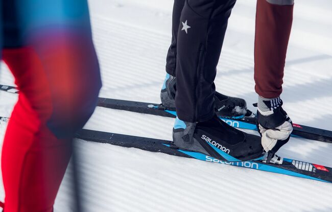
Situated above the federal road to Pertisau, the panoramic trail connects the trail network of Maurach and Pertisau. The tour has several short climbs and descents and is moderately difficult.
