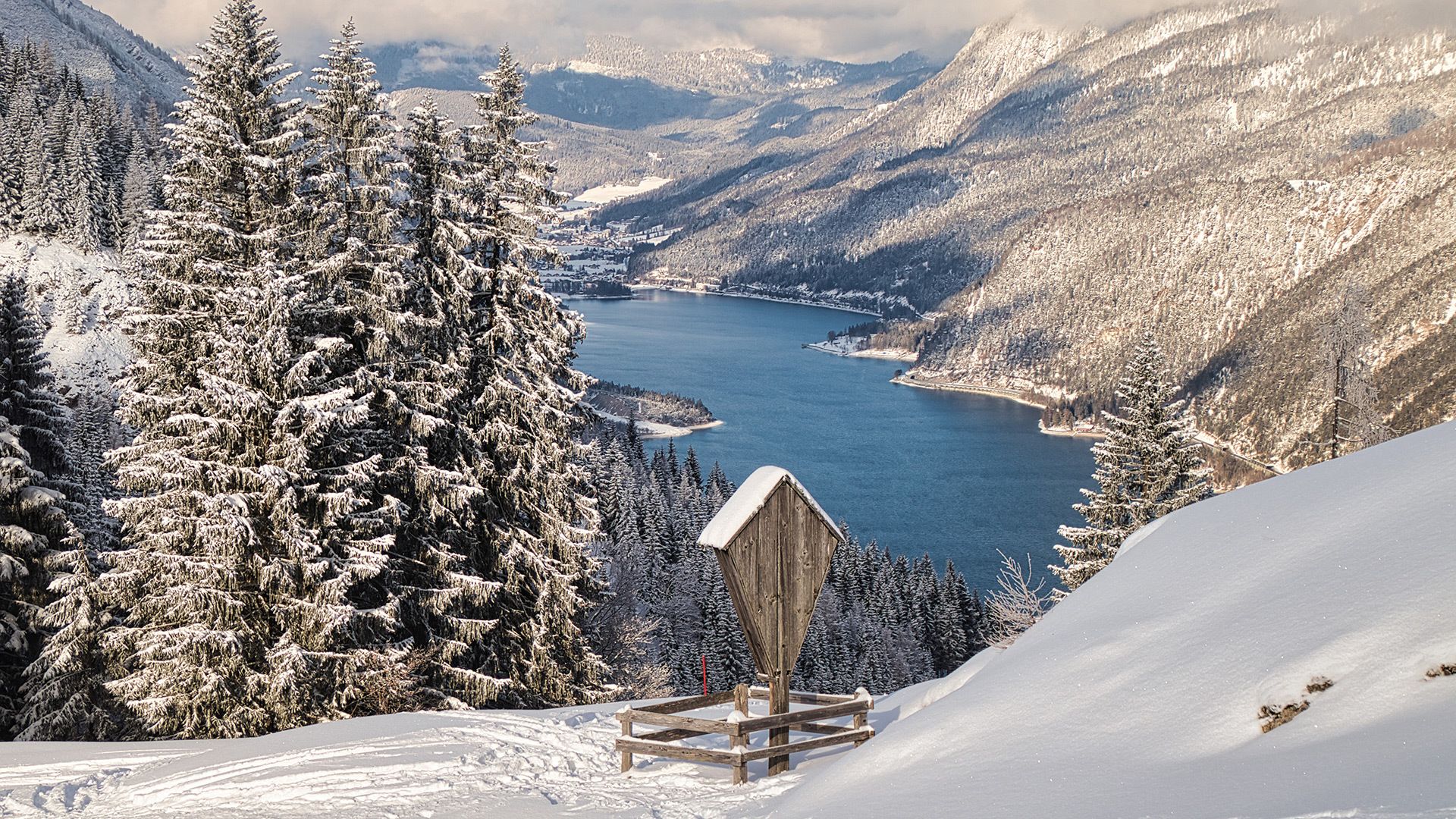
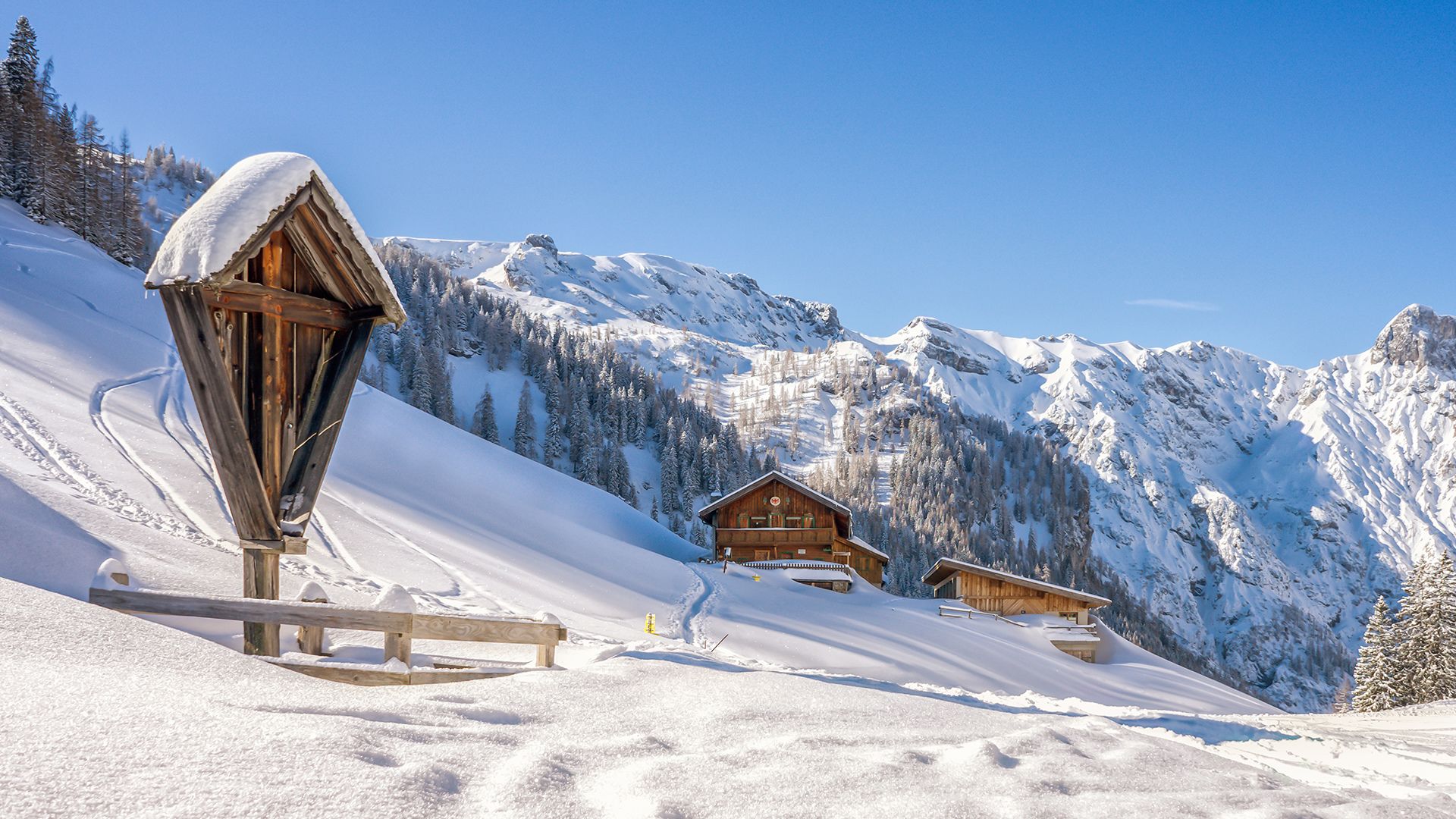
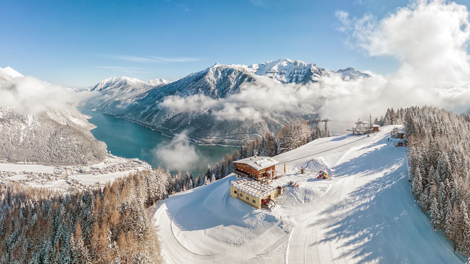
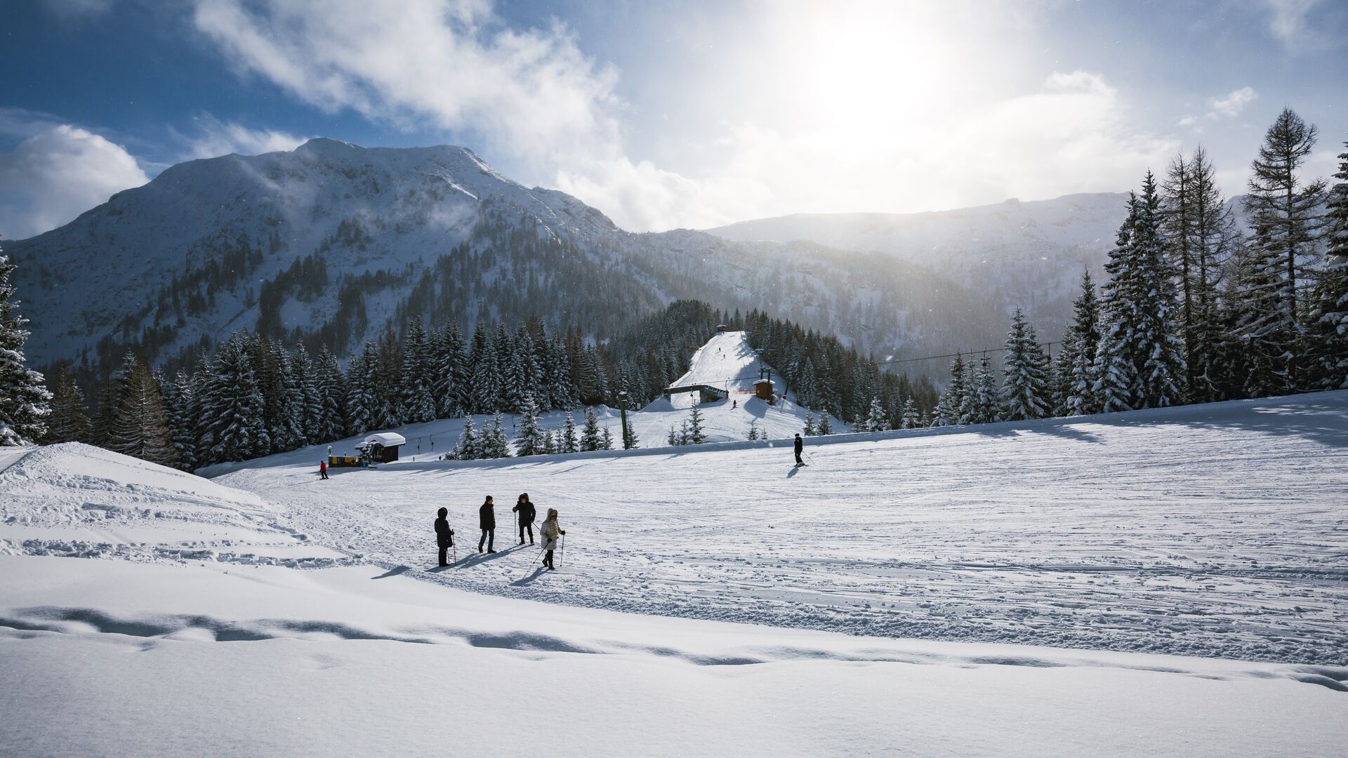
Zwölferkopf panoramic circular hiking trail
Important Infomation
Elevation Profile
Description
From the top station of the Karwendel cable car, follow the signposts to the Bärenbadalm (signpost no. 4). Walk past the mountain hut through the forest and past ski lift pillars. Follow the path as it climbs back to the Alpengasthaus Karwendel and the top station of the Karwendel cable car.
Notice: Walking time on this easy to moderate trail varies depending on snow conditions.


