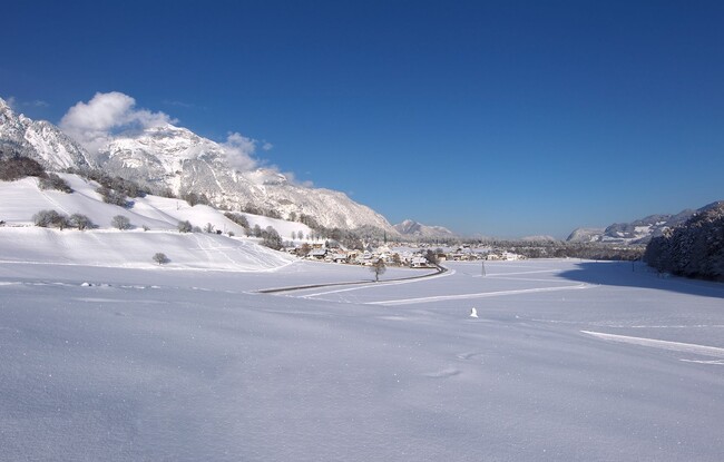
Wiesing - Jenbach über Leitenweg - Wiesing
Important Infomation
Elevation Profile
Description
From the village centre of Wiesing, follow the village road to the primary school. After the kindergarten, turn left to the Leitenweg path in the direction of Jenbach. About halfway, south of the Wiesinger Bühel, this route leads to the edge of the forest. From here, follow the path as it continues partly through forest, partly along the edge of the forest until you arrive at the Achensee steam cog railway station “Burgeck”. The return is via the same route.

