Wiesing - Fischl - Eben - Seespitz - Wiesing
Important Infomation
🔖
Route Length
14.7 km
🜏
Elevation Gain
445 hm
🞍
Highest Point
970 hm
🔲
Elevation Loss
440 hm
Time Uphill
02:30 h
Time Downhill
02:00 h
🏀
Route Time Total
04:30 h
🞽
Difficulty
Medium
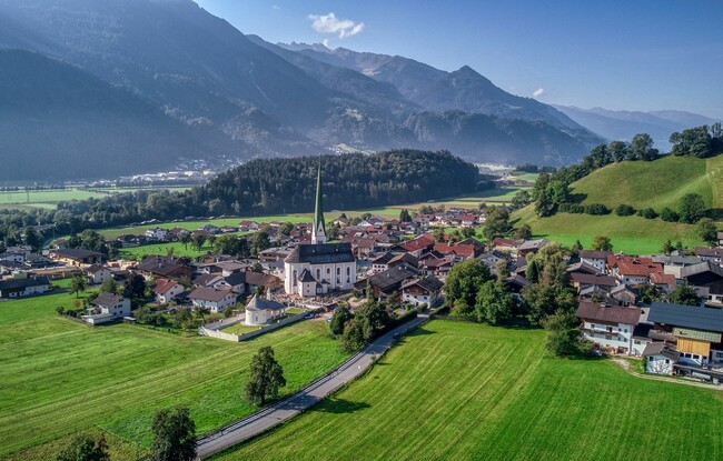
Starting Point: Wiesing, parish church
End Point: Wiesing, parish church
Elevation Profile
Description
From the parish church Wiesing (566 metres), walk up the road until you reach the district Erlach. From here, walk through the underpass of the Achensee main road and follow the path as it climbs gradually to the community of Eben am Achensee (964 metres). From the St. Notburga church in Eben, walk downhill along the cycle and footpath via Maurach until you arrive at Seespitz at Lake Achensee (931 metres). The return is via the same route, or by bus from Seespitz.