Wiesing - Camping Inntal - Grünangerl - Münster - Wiesing
Important Infomation
🔖
Route Length
5.6 km
🜏
Elevation Gain
90 hm
🞍
Highest Point
660 hm
🔲
Elevation Loss
90 hm
🏀
Route Time Total
01:45 h
🞽
Difficulty
Easy
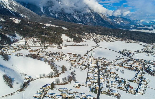
Starting Point: Wiesing, parish church
End Point: Wiesing, parish church
Elevation Profile
Description
From the parish church Wiesing, walk to the underpass of the Achensee main road in the direction of the campsite. At the junction, turn right at house number 400 and walk straight on until you reach the forest path to the Grünangerl chapel. Walk past the chapel, at the next junction, turn left and follow the signposts to Wiesing. Once you reach the first houses of the Rofan residential area, keep left and walk downhill until the same route takes you back to the starting point.