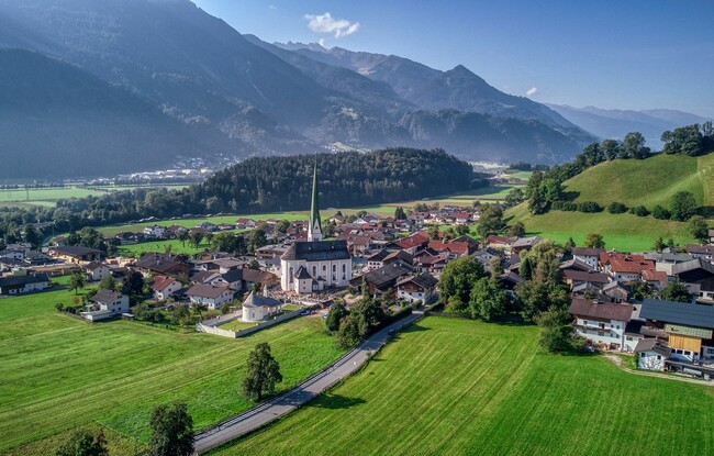
Wiesing - Buchbergl (formerly Tiergarten) - Jenbach - Wiesing
Important Infomation
🔖
Route Length
3.5 km
🜏
Elevation Gain
90 hm
🞍
Highest Point
615 hm
🔲
Elevation Loss
90 hm
🏀
Route Time Total
01:00 h
🞽
Difficulty
Easy
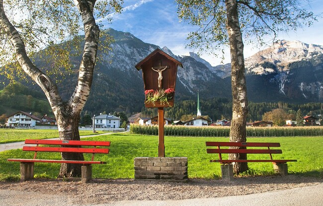
Starting Point: Wiesing, parish church
End Point: Wiesing, parish church
Route Type: Roundtrip
Elevation Profile

Description
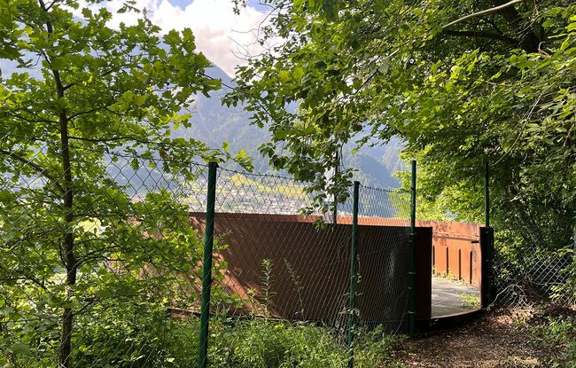
From the parish church Wiesing, the route follows the cycle and footpath in the direction of Rotholz. Just before the motorway underpass, turn right into the forest. Follow the path as it climbs gently, then walk over the forest ridge and along the forest path to the edge of the quarry. From the quarry, the trail descends in two hairpin bends. If you want to extend your hike, you can continue to the viewing platform south of the HTL school in Jenbach (approx. 10 minutes walk). The return route runs along the northern edge of the Buchbergl forest back to Wiesing.