Tuesday: Panorama hike in Achenkirch
Important Infomation
🔖
Route Length
9 km
🜏
Elevation Gain
572 hm
🞍
Highest Point
1371 hm
🏀
Route Time Total
04:00 h
🞽
Difficulty
Easy
Starting Point: Achenkirch, Information office
End Point: Achenkirch, Information office
Route Type: Roundtrip
Elevation Profile
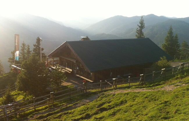
Description
We walk from the starting point to the biomass cogeneration plant. We follow the forest path (natural toboggan run) to the Adlerhorst (1,230 metres). After a short ascent we will reach the panorama trail leading to the Zöhreralm mountain hut (1,334 metres). We will stop for refreshments at the Gourmet-Alm mountain hut and enjoy the splendid view over the valley and the lake. The driveway takes us down the valley back to the starting point.