Steinberg - Steinberger Loch - Steinberg
Important Infomation
🔖
Route Length
2.9 km
🜏
Elevation Gain
135 hm
🞍
Highest Point
1020 hm
🔲
Elevation Loss
135 hm
🏀
Route Time Total
01:15 h
🞽
Difficulty
Easy
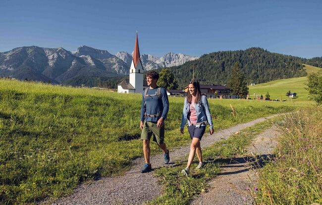
Starting Point: Steinberg am Rofan, parish church
End Point: Steinberg am Rofan, parish church
Route Type: Roundtrip
Elevation Profile
Description
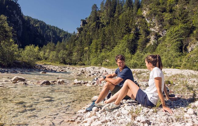
From the parish church Steinberg, walk in a northerly direction past the two houses on the left. Descend to the Mühlbach and walk to the asphalt road. Follow the path on the right and continue along the road until you reach the socalled “Loch”. Just a little before, turn right and walk over the wooden footbridge across the Mühlbach and follow the trail as it climbs over hilltops and back to the first houses of Steinberg. Follow the asphalt road to the wooden barn, then keep right and walk back to the parish church.