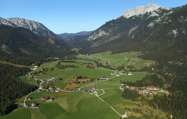
Steinberg - Holzermahd - Steinberg
Important Infomation
Elevation Profile

Description
From the parish church Steinberg, walk in a northerly direction past the two houses on the left. Descend to the Mühlbach and walk to the asphalt road. Continue along the path on the right and follow the road until you reach the so-called “Loch”. Follow the forest road over the bridge, walk around the barrier along the Grundache. Walk through the tunnel and continue along the road until you reach the Holzmaderweg on the right (signpost “Steinberg”). Follow the trail as it climbs and then descends. Walk over the bridge across the Gaismoosbach. Continue along the trail as is heads uphill until you arrive at the forest road. Turn left and follow the forest road until you reach the asphalt road. Walk through the village and back to the parish church Steinberg.