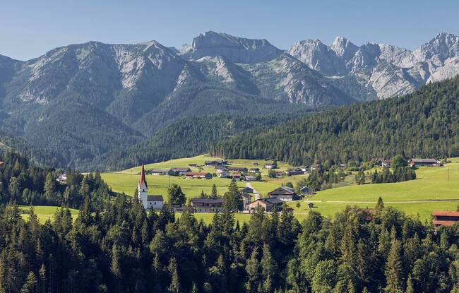
Steinberg - Hinterberg - Steinberg
Important Infomation
🔖
Route Length
8.5 km
🜏
Elevation Gain
235 hm
🞍
Highest Point
1080 hm
🔲
Elevation Loss
235 hm
Time Uphill
01:30 h
Time Downhill
01:30 h
🏀
Route Time Total
03:00 h
🞽
Difficulty
Medium
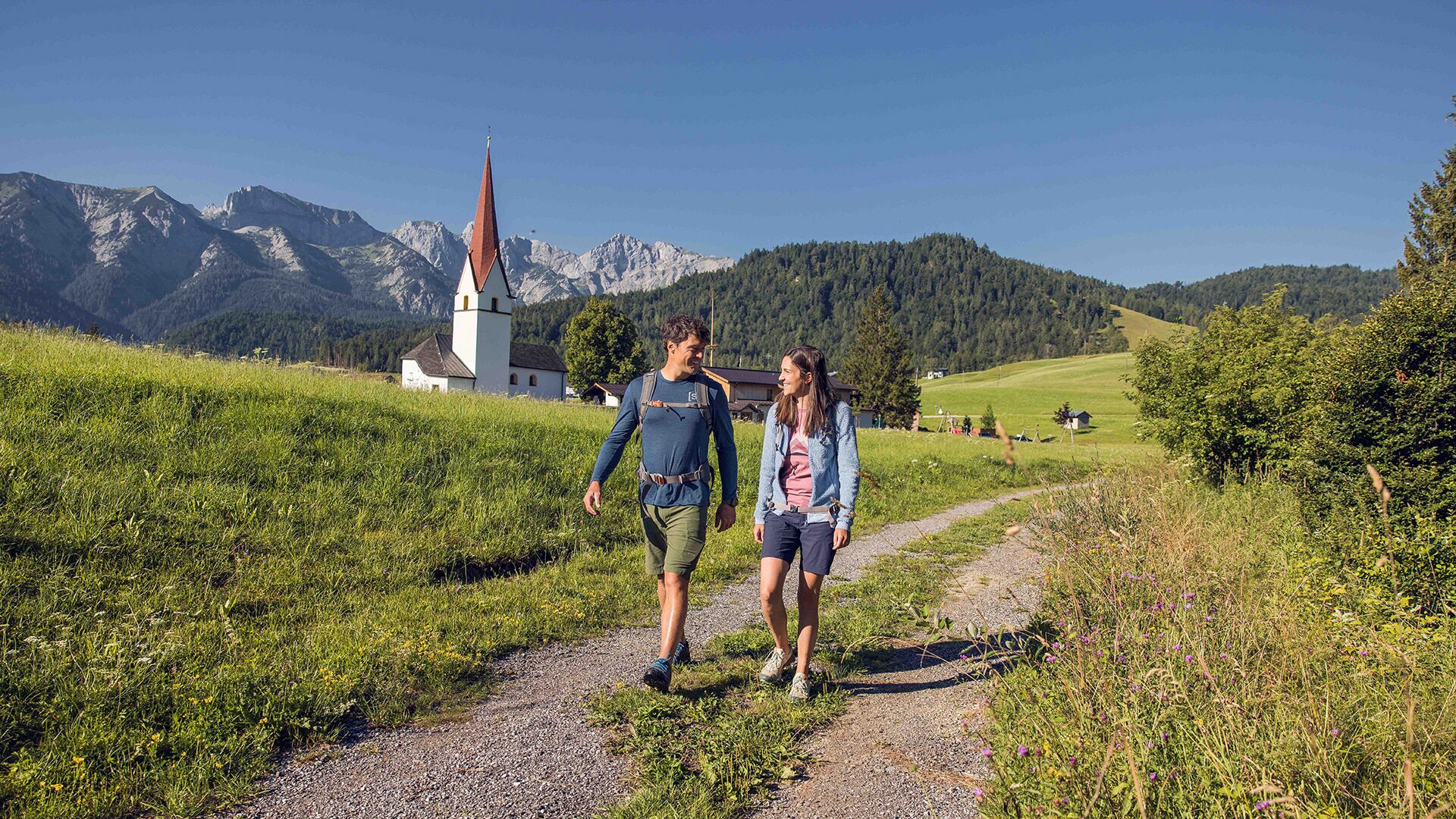
Starting Point: Steinberg am Rofan, parish church
End Point: Steinberg am Rofan, parish church
Route Type: Roundtrip
Elevation Profile
Description
From the parish church Steinberg, walk in a northerly direction past the two houses on the left. Descend to the Mühlbach and walk to the asphalt road. Continue along the road, then turn left and walk across the stream to the Hinterbergweg. Follow this path until it joins a forest road and walk to the Appartement Naturetouch. The return route is via the road to Mühlegg/Steinberg and back to the parish church Steinberg.