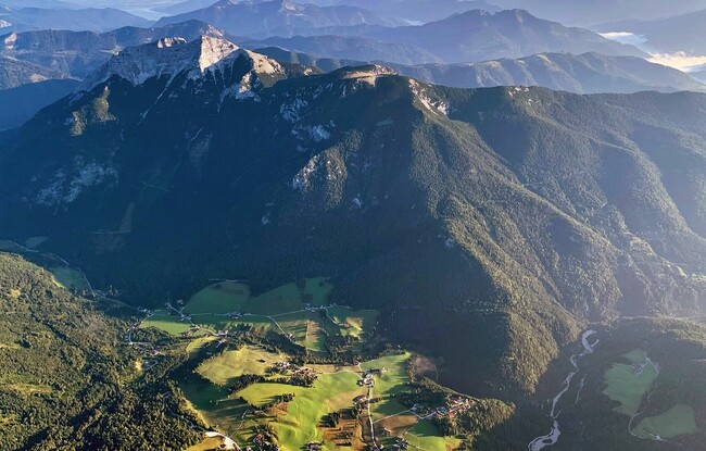
Steinberg - Guffert - Steinberg
Important Infomation
🔖
Route Length
10.3 km
🜏
Elevation Gain
1195 hm
🞍
Highest Point
2195 hm
🔲
Elevation Loss
1195 hm
Time Uphill
03:30 h
Time Downhill
03:00 h
🏀
Route Time Total
06:30 h
🞽
Difficulty
Hard
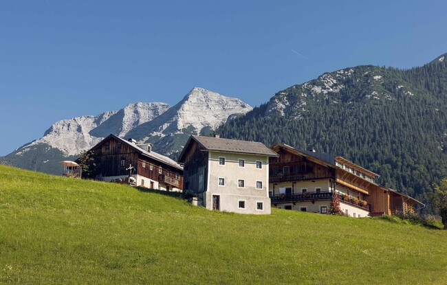
Starting Point: Steinberg am Rofan, inn Gasthof Waldhäusl
End Point: Steinberg am Rofan, inn Gasthof Waldhäusl
Elevation Profile
Description
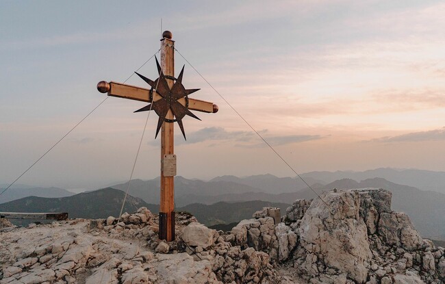
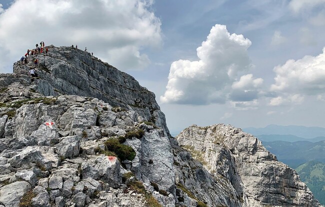
From the car park at the inn "Gasthof Waldhäusl", climb the steep trail to the Guffert. At an elevation of ca. 1,800 metres, you can make a detour to the Schmidtquelle (dried up spring). Follow the Guffertsteig as it climbs over rocky terrain between mountain pines. Continue along the ridge which is secured with a steel rope until you reach the summit (2,195 metres). The return is via the same route.