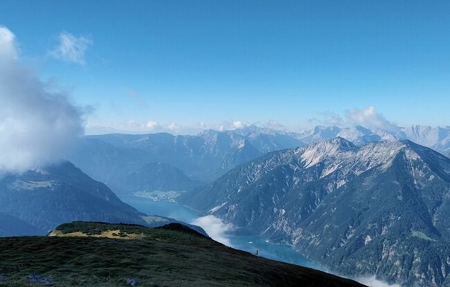
Steinberg - Gfaßsattel - Kotalm - Vorderunnutz - Kögljoch - Schönjochalm - Steinberg
Important Infomation
🔖
Route Length
18.2 km
🜏
Elevation Gain
1030 hm
🞍
Highest Point
2087 hm
🔲
Elevation Loss
1030 hm
Time Uphill
03:30 h
Time Downhill
04:00 h
🏀
Route Time Total
07:30 h
🞽
Difficulty
Hard
Starting Point: Steinberg am Rofan, car park Rofanlifte II
End Point: Steinberg am Rofan, car park Rofanlifte II
Route Type: Roundtrip
Elevation Profile
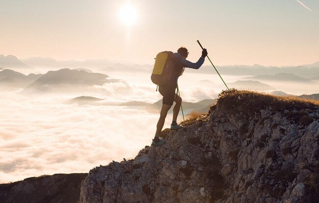

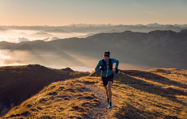

Description
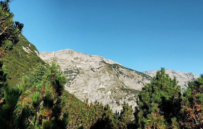
This tour begins ca. 50 metres to the south-east of the car park “Rofan lifts II”. Turn right and follow the crossroad in the direction of the Schönjochalm to the Gfaßsattel (1,226 metres). At the wayside shrine, turn right and follow the trail to the Kotalm (not serviced). From here, walk to the Vorderunnutz (2,087 metres). On the return route, follow the trail in an easterly direction (see signpost Kögljoch), walk past the grassy slope and follow the trail on the left as it descends to the Kögljoch (1,487 metres). From here, turn left and follow the forest road through the Schönjochtal back to car park of the Rofan lifts II in Steinberg.