Steinberg - Enterhof - Durrahof - Enteralm - Steinberg
Important Infomation
🔖
Route Length
14.3 km
🜏
Elevation Gain
575 hm
🞍
Highest Point
1324 hm
🔲
Elevation Loss
575 hm
Time Uphill
02:30 h
Time Downhill
02:30 h
🏀
Route Time Total
05:00 h
🞽
Difficulty
Easy
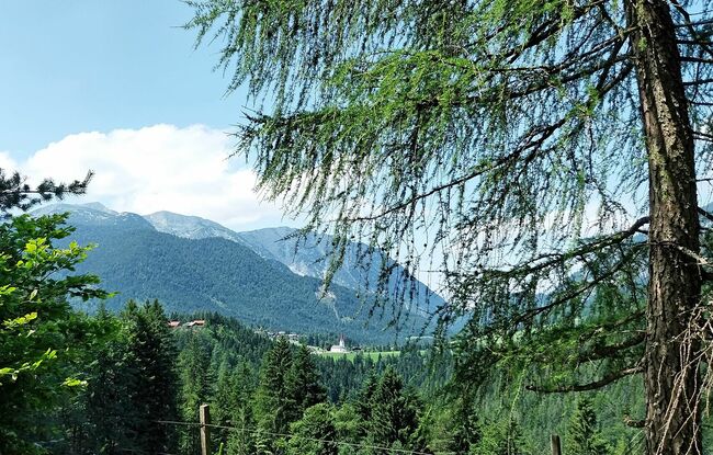
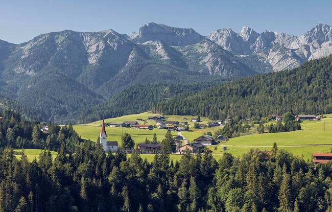
Starting Point: Steinberg am Rofan, parish church
End Point: Steinberg am Rofan, parish church
Elevation Profile


Description
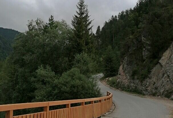
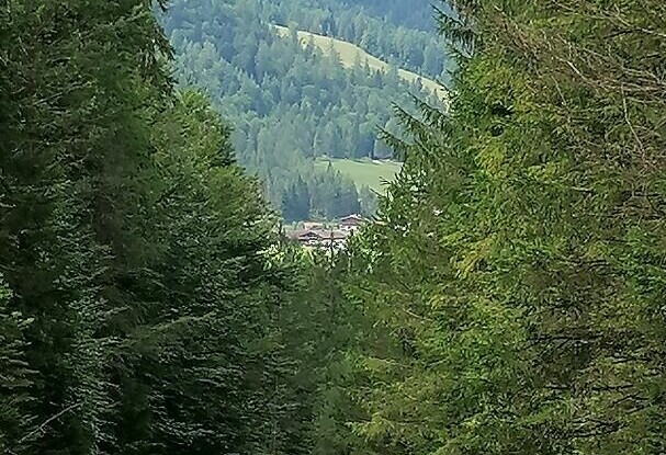
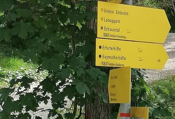
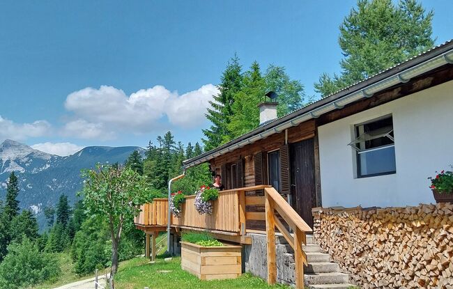
From the parish church Steinberg (1,015 metres), walk in a northerly direction past the two houses on the left. Descend to the Mühlbach and walk to the asphalt road. Follow the path on the right and continue along the road until you reach the so-called “Loch”. Just a little before, turn right and walk over the bridge. Walk along the asphalt road to the Enterhof and then to the Durrahof (not serviced). With the Durrahof to the left, follow the forest road straight on until you arrive at a junction. Turn left and follow the forest road as it climbs to the Enteralm (1,324 metres). The return is via the same route.