Steinberg - Durrahof - Steinberg
Important Infomation
🔖
Route Length
7.7 km
🜏
Elevation Gain
370 hm
🞍
Highest Point
1035 hm
🔲
Elevation Loss
370 hm
Time Uphill
01:30 h
Time Downhill
01:30 h
🏀
Route Time Total
03:00 h
🞽
Difficulty
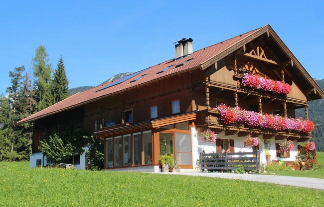
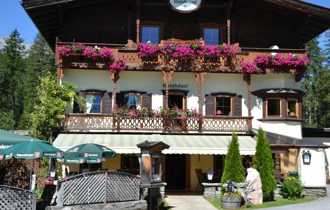
Starting Point: Steinberg am Rofan, inn Gasthof Waldhäusl
End Point: Steinberg am Rofan, inn Gasthof Waldhäusl
Elevation Profile
Description
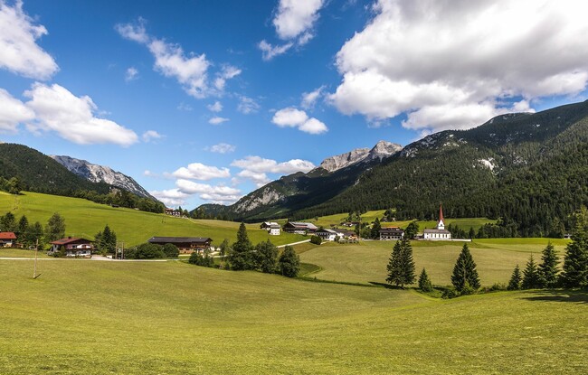
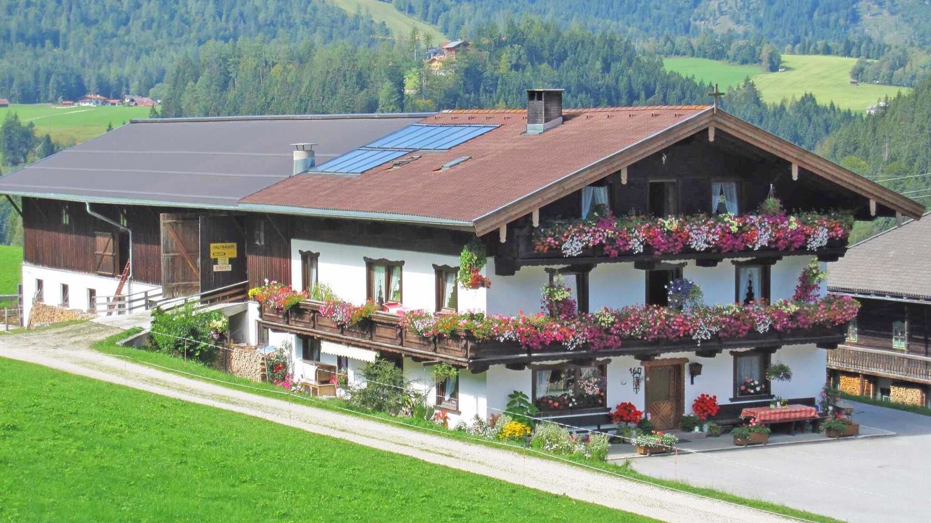
From the inn "Gasthof Waldhäusl", follow the village road to the parish church Steinberg. With the church to the left, continue for ca. 500 metres until you reach the hayloft. Turn left and follow the road straight on. The path joins a small steep trail which takes you to the so-called “Loch”. Walk over the bridge and continue along the asphalt road to the Enterhof and Durrahof (not serviced). Alternatively, turn right after the bridge and follow the trail as it climbs to a meadow above the Enterhof and then turns right to the Durrahof. The return is via the same route or via the asphalt road.