Pletzachalm - Schleimssattel - Pletzachalm
Important Infomation
🔖
Route Length
6.4 km
🜏
Elevation Gain
460 hm
🞍
Highest Point
1556 hm
🔲
Elevation Loss
460 hm
Time Uphill
02:15 h
Time Downhill
01:45 h
🏀
Route Time Total
04:00 h
🞽
Difficulty
Medium
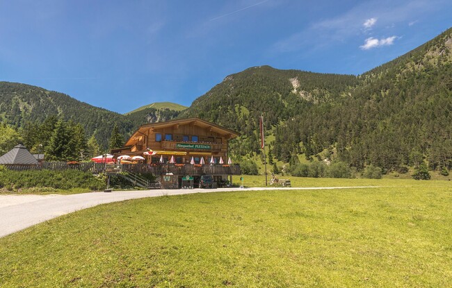
Starting Point: Pertisau, car park Feilalm Forststraße
End Point: Pertisau, car park Feilalm Forststraße
Elevation Profile
Description
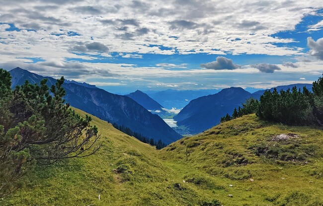
From the car park „Feilalm Forststraße“, follow the yellow signpost (Schleimssattel). Walk across the stream bed and continue along the forest road to the Schleimssattel. The return is via the same route or via the steep trail.