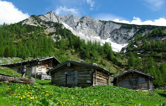
Pletzachalm - Pasillsattel - Pasillalm - Pletzachalm
Important Infomation
🔖
Route Length
7.8 km
🜏
Elevation Gain
750 hm
🞍
Highest Point
1680 hm
🔲
Elevation Loss
750 hm
Time Uphill
02:15 h
Time Downhill
01:45 h
🏀
Route Time Total
04:00 h
🞽
Difficulty
Medium
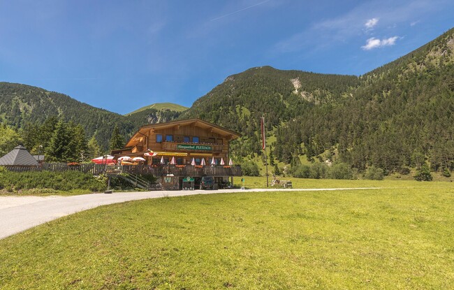
Starting Point: Pertisau, Pletzachalm
End Point: Pertisau, Pletzachalm
Elevation Profile
Description
From the Pletzachalm mountain hut (1,040 metres), walk towards the valley to the signpost. From here, a steep switchback trail climbs via the Pasillsattel to the Pasillalm (1,557 metres, not serviced). The return is via the same route.