Pertisau - Stanser Joch - Pertisau
Important Infomation
🔖
Route Length
10.2 km
🜏
Elevation Gain
700 hm
🞍
Highest Point
2102 hm
🔲
Elevation Loss
700 hm
Time Uphill
02:45 h
Time Downhill
02:15 h
🏀
Route Time Total
05:00 h
🞽
Difficulty
Medium
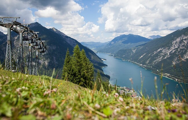
Starting Point: Pertisau, top station of the Karwendel cable car
End Point: Pertisau, top station of the Karwendel cable car
Elevation Profile

Description
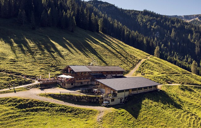
From the top station of the Karwendel cable car, walk in a southerly direction to the Bärenbadalm and continue along a scenic forest path to the Weißenbachsattel. From here, the trail climbs in a southerly direction to the Stanser Joch (signposted). The trail meanders uphill between mountain pines and alpine roses over some steep sections and takes you to a saddle. Walk past the avalanche barriers to the left where the trail flattens until you reach the summit cross of the Stanser Joch (2,102 metres). The return is via the same route.