Pertisau - Panoramaweg - Maurach - Pertisau
Important Infomation
🔖
Route Length
10.3 km
🜏
Elevation Gain
270 hm
🞍
Highest Point
1085 hm
🔲
Elevation Loss
270 hm
Time Uphill
01:30 h
🏀
Route Time Total
03:00 h
🞽
Difficulty
Easy
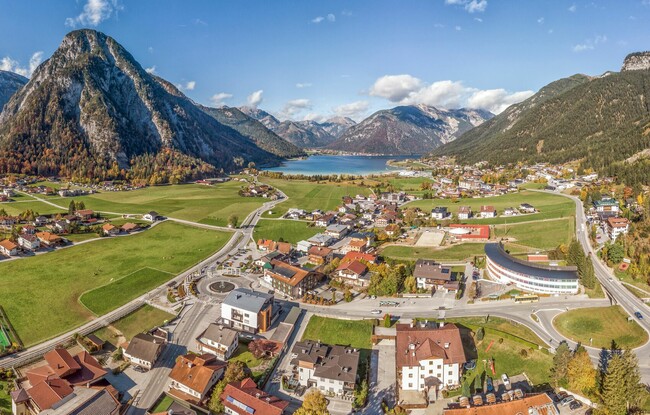
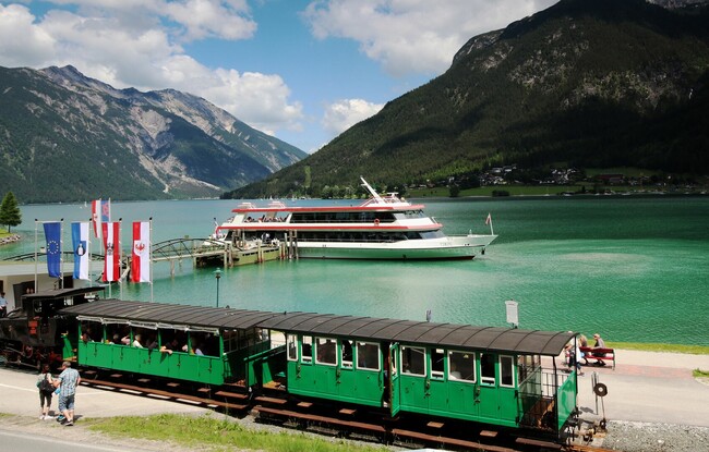
Starting Point: Pertisau, valley station of the Karwendel cable car
End Point: Pertisau, valley station of the Karwendel cable car
Elevation Profile
Description
From the valley station of the Karwendel cable car, follow the forest road as it climbs gradually in the direction of Seespitz. Walk past the radio mast and across the ski slope. Follow the scenic forest path as it continues along the avalanche gallery with some gentle inclines until you reach Maurach. The return is via the same route.