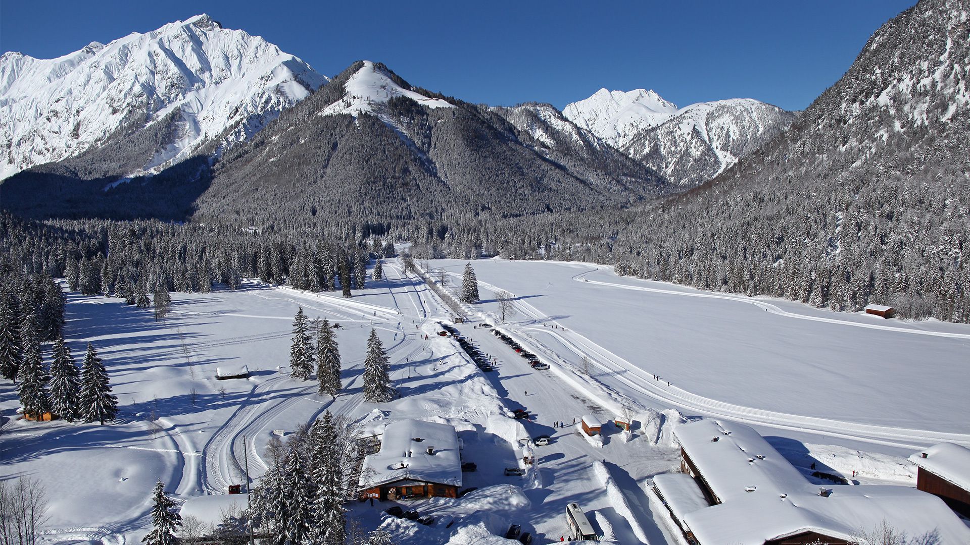
Pertisau - Feilalm - Pertisau
Important Infomation
🔖
Route Length
13.3 km
🜏
Elevation Gain
395 hm
🞍
Highest Point
1380 hm
🔲
Elevation Loss
395 hm
Time Uphill
02:15 h
Time Downhill
02:00 h
🏀
Route Time Total
04:15 h
🞽
Difficulty
Medium
Starting Point: Pertisau, car park Karwendeltäler (cross-country skiing centre)
End Point: Pertisau, car park Karwendeltäler (cross-country skiing centre)
Elevation Profile
Description
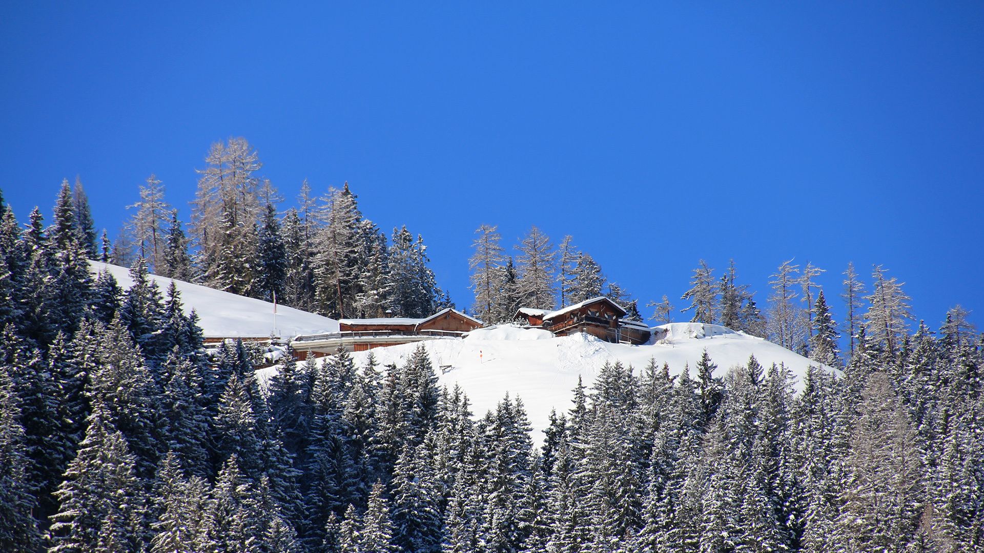
From the cross-country skiing centre at the entrance to the Karwendel valleys, in Pertisau walk along the road towards the “Pletzachalm” mountain hut and continue to the “Gern Alm” mountain hut. Turn left and follow the forest path to the “Feilalm” mountain hut. The way back is via the same route.