Maurach - Weißenbachsattel - Bärenkopf - Maurach
Important Infomation
Elevation Profile
Description
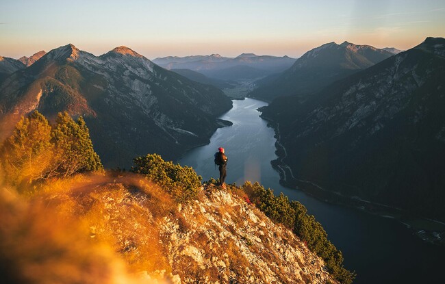
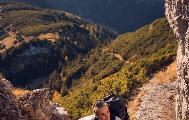
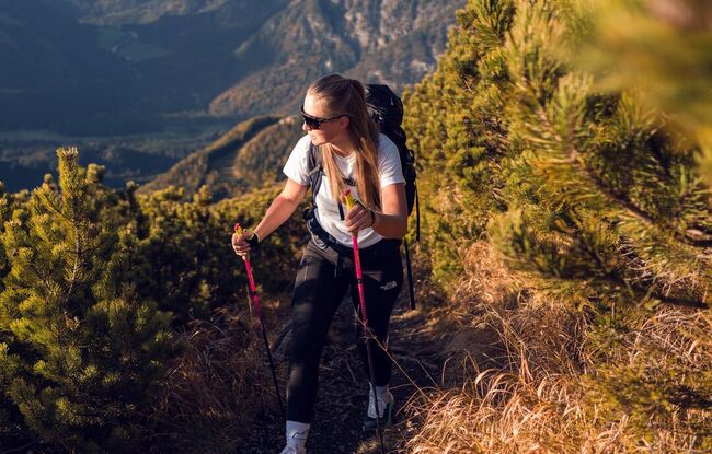
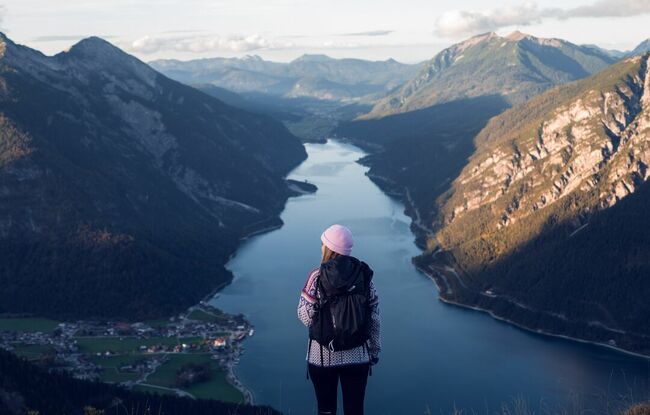
The tour begins to the left of the car park Seespitz. Follow the road for a few metres, at the restaurant Peter’s Grill walk across the road and from the car park, climb the narrow trail to the panorama trail. Turn left, follow the trail straight on, then turn right at the next junction and follow the asphalt road to the last houses of the Lärchenwiese. A forest road branches off from the road and leads to the Weißenbachtal. After a short hike, walk across the stream bed of the Weißenbach which is generally dry. Continue along the forest road which climbs gradually to the mountain huts Weißenbachhütte (not serviced) and Weißenbachalm. From here, walk to the Weißenbachsattel. Turn right and follow the signpost to the Bärenkopf. First, the trail is relatively flat as you walk between mountain pines. Continue uphill on a steep section until the trail flattens and walk to the summit of the Bärenkopf. On the return, descend via the Bärenbadalm mountain hut or via the wide forest road through the Weißenbachtal.