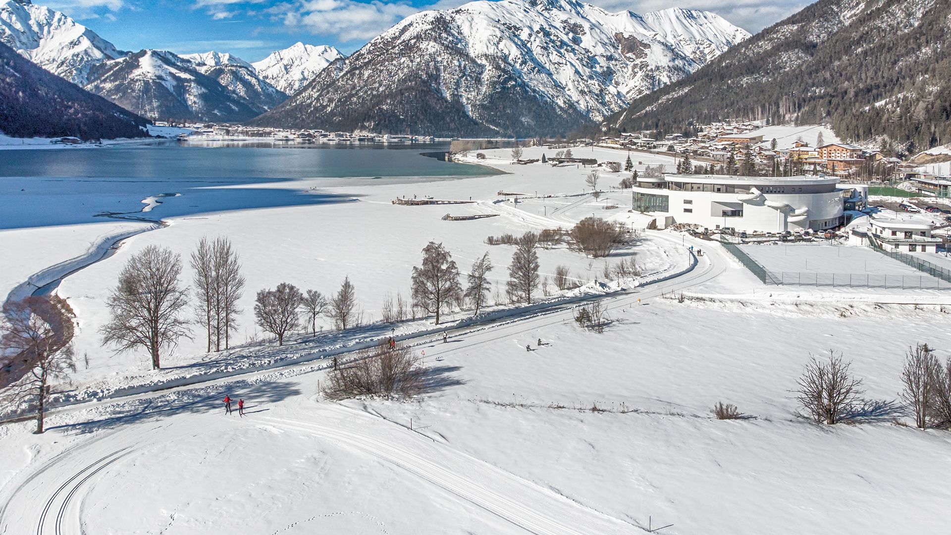
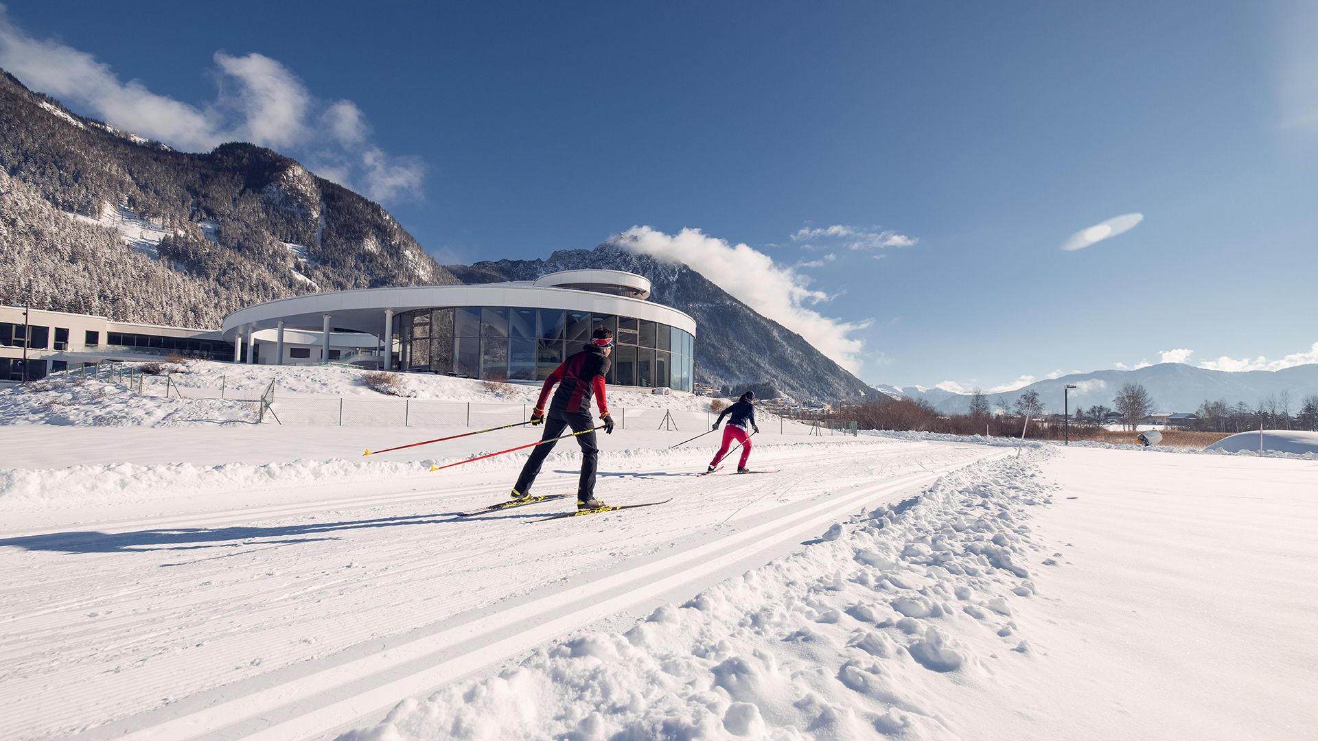
Maurach trail
Important Infomation
🔖
Route Length
4 km
🖈
Snowed
No
🞽
Difficulty
Easy
🕮
Start Height
932 hm
🝂
Target Height
932 hm
🞍
Highest Point
939 hm
🜏
Elevation Gain
21 hm
🅔
Biathlon
No
Elevation Profile
Description
The trail leads past the tennis court and continues alongside the stream bed. After crossing the small bridge, the trail leads alongside the southern lakeshore in the direction of Maurach. Suitable for adaptive cross-country skiing.