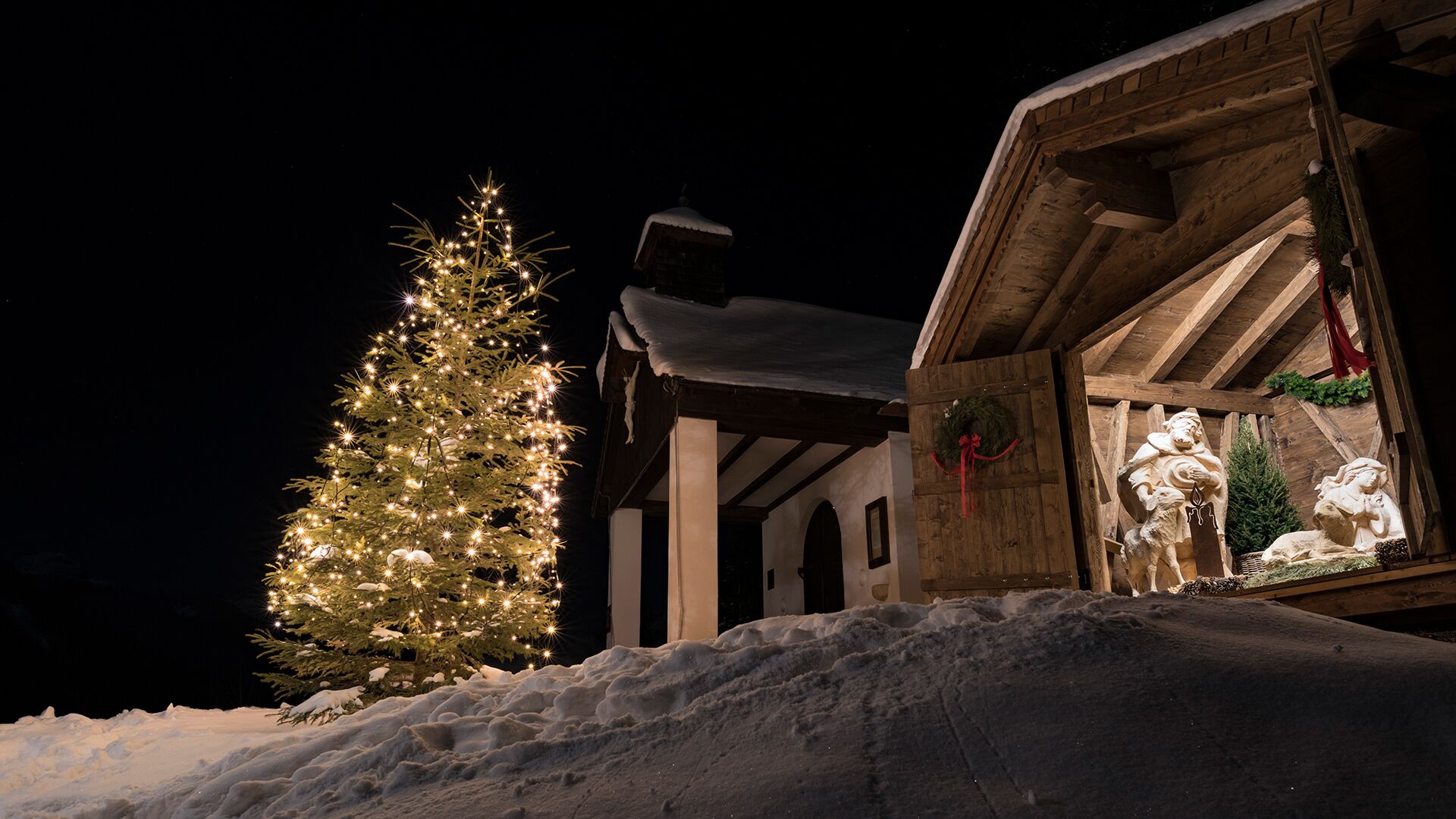
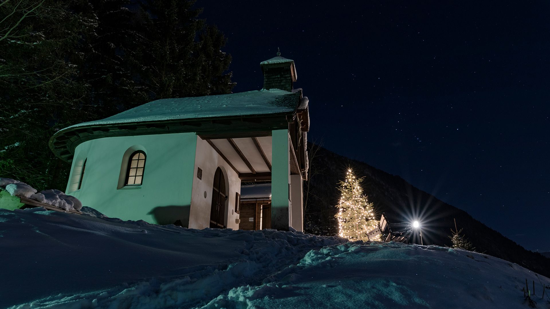
Maurach - Häusererbühelkapelle - Maurach (forest path)
Important Infomation
🔖
Route Length
0.9 km
🜏
Elevation Gain
25 hm
🞍
Highest Point
1005 hm
🔲
Elevation Loss
25 hm
Time Uphill
00:10 h
Time Downhill
00:10 h
🏀
Route Time Total
00:20 h
🞽
Difficulty
Easy
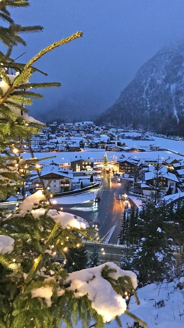
Starting Point: Maurach, car park of the Rofan cable car
End Point: Maurach, car park of the Rofan cable car
Elevation Profile
Description
From the car park 2 of the Rofan cable car, walk uphill to the village road. Keep left until you arrive at a junction. Turn left and follow the narrow forest path to the chapel. The return is via the same route or via the wide hiking trail at the front of the Häuserer Bichl.