Maurach - Buchauer Alm - Maurach
Important Infomation
🔖
Route Length
5.7 km
🜏
Elevation Gain
390 hm
🞍
Highest Point
1385 hm
🔲
Elevation Loss
390 hm
Time Uphill
01:00 h
Time Downhill
01:00 h
🏀
Route Time Total
02:00 h
🞽
Difficulty
Easy
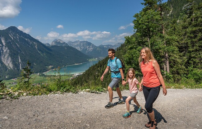
Starting Point: Maurach, Talstation Rofanseilbahn
End Point: Maurach, Talstation Rofanseilbahn
Elevation Profile
Description
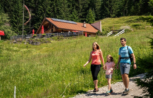
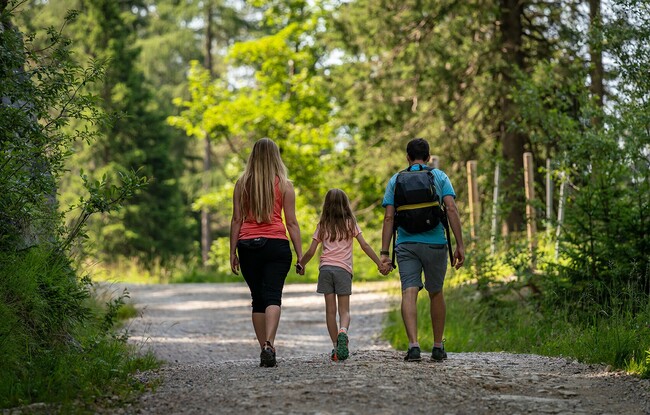
From the valley station of the Rofan cable car, follow the path past the hotel Naturhotel Alpenblick until you reach the wooden bridge. Continue along the forest road to the Buchauer Alm*) mountain hut (1,385 metres). The return is via the same route.
*) Sadly, the Buchauer Alm was destroyed in a tragic fire. It is not yet clear whether the mountain hut will be rebuilt.