Maurach - Buchauer Alm - Hubersteig - Ebner Joch - Astenau Alpe - Maurach
Important Infomation
🔖
Route Length
12.7 km
🜏
Elevation Gain
1005 hm
🞍
Highest Point
1957 hm
🔲
Elevation Loss
1005 hm
Time Uphill
03:00 h
Time Downhill
02:30 h
🏀
Route Time Total
05:30 h
🞽
Difficulty
Medium
Starting Point: Maurach, valley station of the Rofan cable car
End Point: Maurach, valley station of the Rofan cable car
Route Type: Roundtrip
Elevation Profile


Description
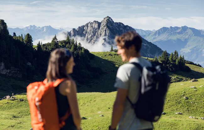
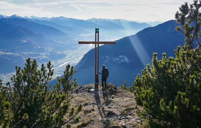
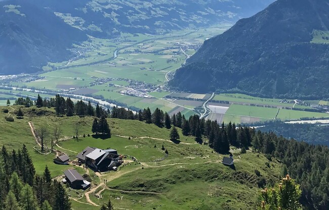
From the valley station of the Rofan cable car, follow the forest road to the Buchauer Alm*) mountain hut. Continue to the Rasthütte Mauritz (not serviced). Turn right and follow the steep trail to the junction. Turn right and follow the Hubersteig trail. Walk through the forest and over scree slopes past avalanche barriers to the ridge. From here, the trail to the summit of the Ebner Joch climbs steeply between mountain pines (signposted). The descent is via the Astenau Alpe and Buchauer Alm.
*) Sadly, the Buchauer Alm was destroyed in a tragic fire. It is not yet clear whether the mountain hut will be rebuilt.