Kleine Dorfrunde Maurach
Important Infomation
🔖
Route Length
2.9 km
🜏
Elevation Gain
10 hm
🞍
Highest Point
950 hm
🔲
Elevation Loss
10 hm
🞽
Difficulty
Easy
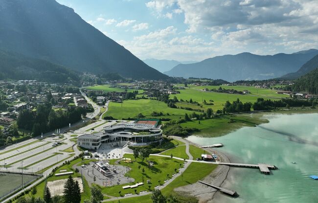
Starting Point: Maurach, SEE-Bad Atoll Achensee
End Point: Maurach, SEE-Bad Atoll Achensee
Elevation Profile

Description
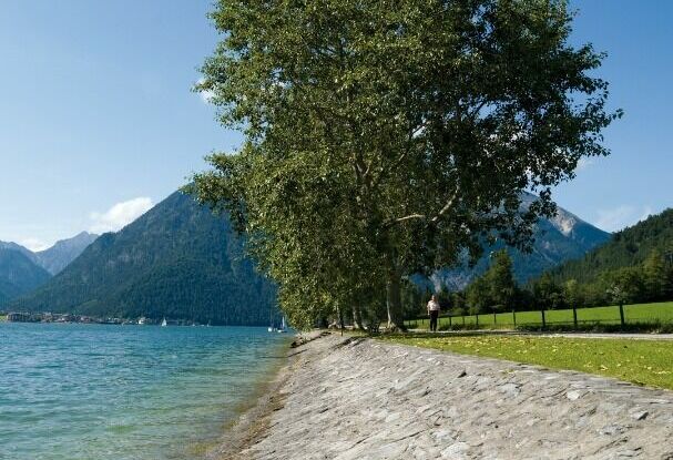
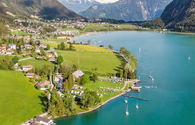
From the SEE-Bad of the Atoll Achensee, the route leads along the lake, through the district of Buchau, past the Buchau family resort and along the main road. Run through the underpass and past the tennis court and return to the starting point.