Karwendelmarsch route
Important Infomation
🔖
Route Length
52 km
🜏
Elevation Gain
2281 hm
🞍
Highest Point
1903 hm
🔲
Elevation Loss
2110 hm
🏀
Route Time Total
10:00 h
🞽
Difficulty
Hard
Starting Point: 967
End Point: Pertisau, Fischergut
Elevation Profile
Description
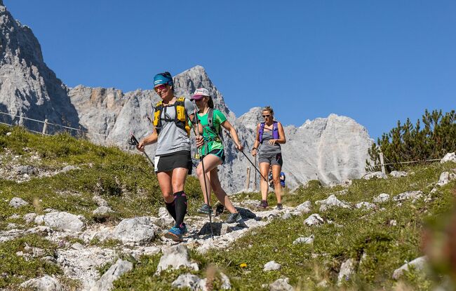
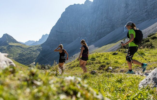
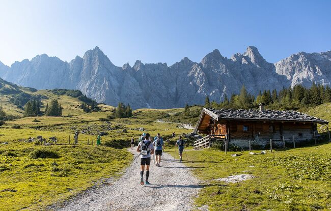
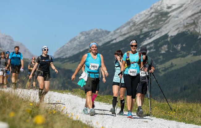
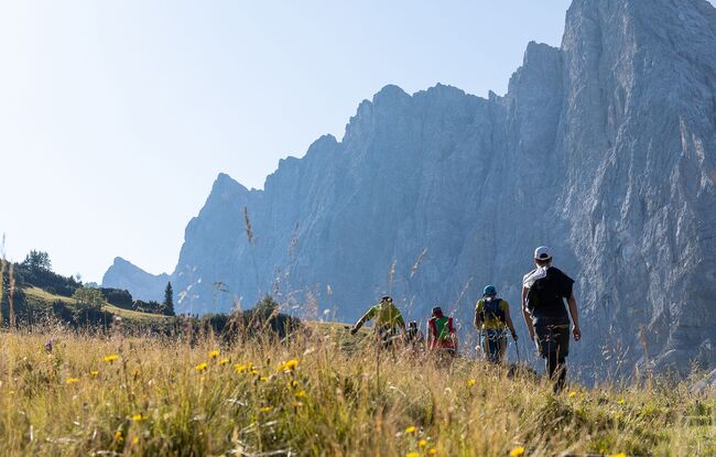
The route travels from Scharnitz (964 metres) via Schafstallboden (1,173 metres), Karwendelhaus (1,771 metres), Kleiner Ahornboden (1,399 metres), Falkenhütte (1,848 metres), Eng (1,227 metres, finishing point of the 35 kilometre route at the Karwendelmarsch event), Binsalm (1,502 metres), Gramai-Hochleger (1,756 metres), Gramai Alm (1,263 metres) and Falzthurn Alm (1,098 metres) to Pertisau at Lake Achensee (932 metres). Characteristic features of the high alpine route are the spectacular mountain ranges, which present themselves in ever-changing formations and perspectives, and the extensive plateaus. The alpine pastures and barns that runners pass time and again lie beautifully nestled in the landscape.