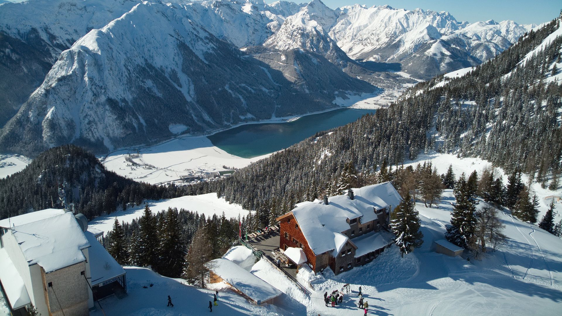
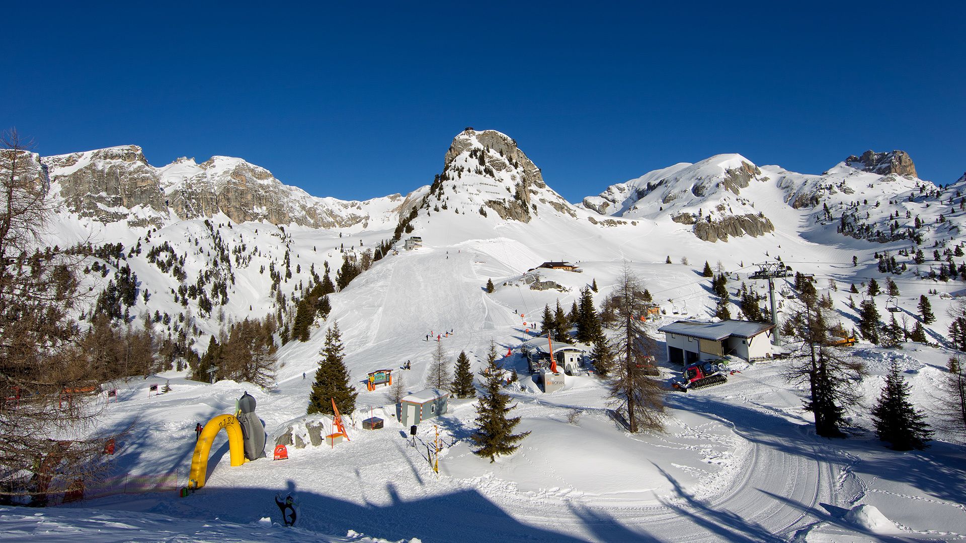
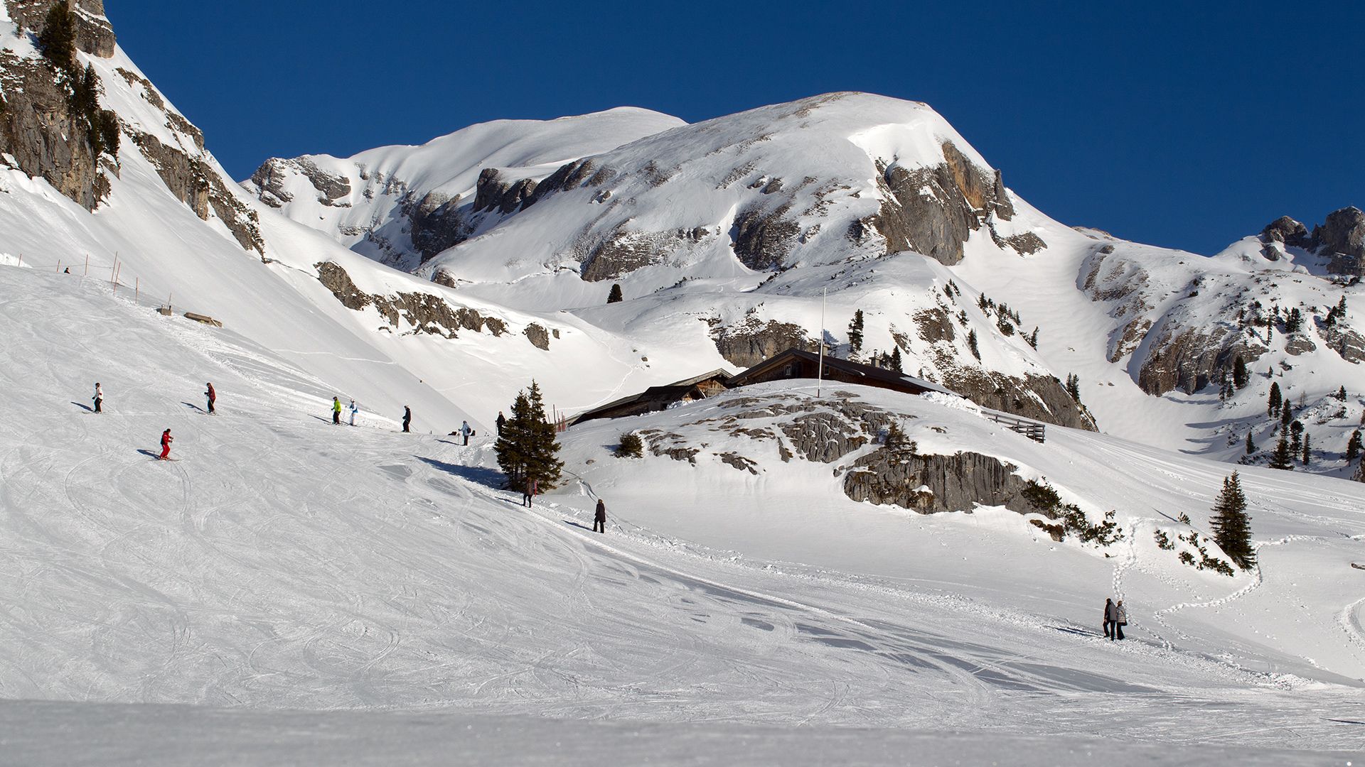
High-altitude hiking tour in the Rofan
Important Infomation
🔖
Route Length
1.9 km
🜏
Elevation Gain
40 hm
🞍
Highest Point
1840 hm
🔲
Elevation Loss
40 hm
🏀
Route Time Total
01:00 h
🞽
Difficulty
Easy
Starting Point: Maurach, mountain station of the Rofan cable car, 1,840m
End Point: Maurach, mountain station of the Rofan cable car
Route Type: Roundtrip
Elevation Profile
Description
This cleared and signposted winter walk starts from the top station of the Rofan cable car at an elevation of 1,840 metres. The trail climbs gently to the Mauritzalm, leads past the Wasserboden lift, then branches off to the right towards the Jägerhütte before taking you back to the top station of the Rofan cable car.