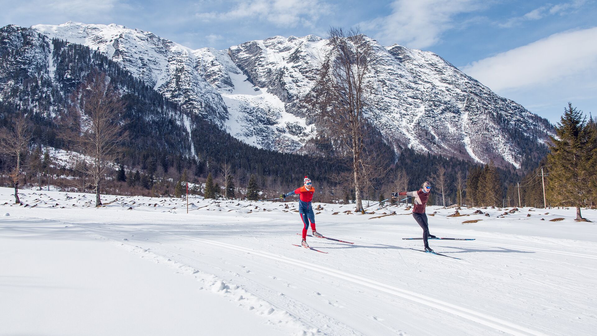
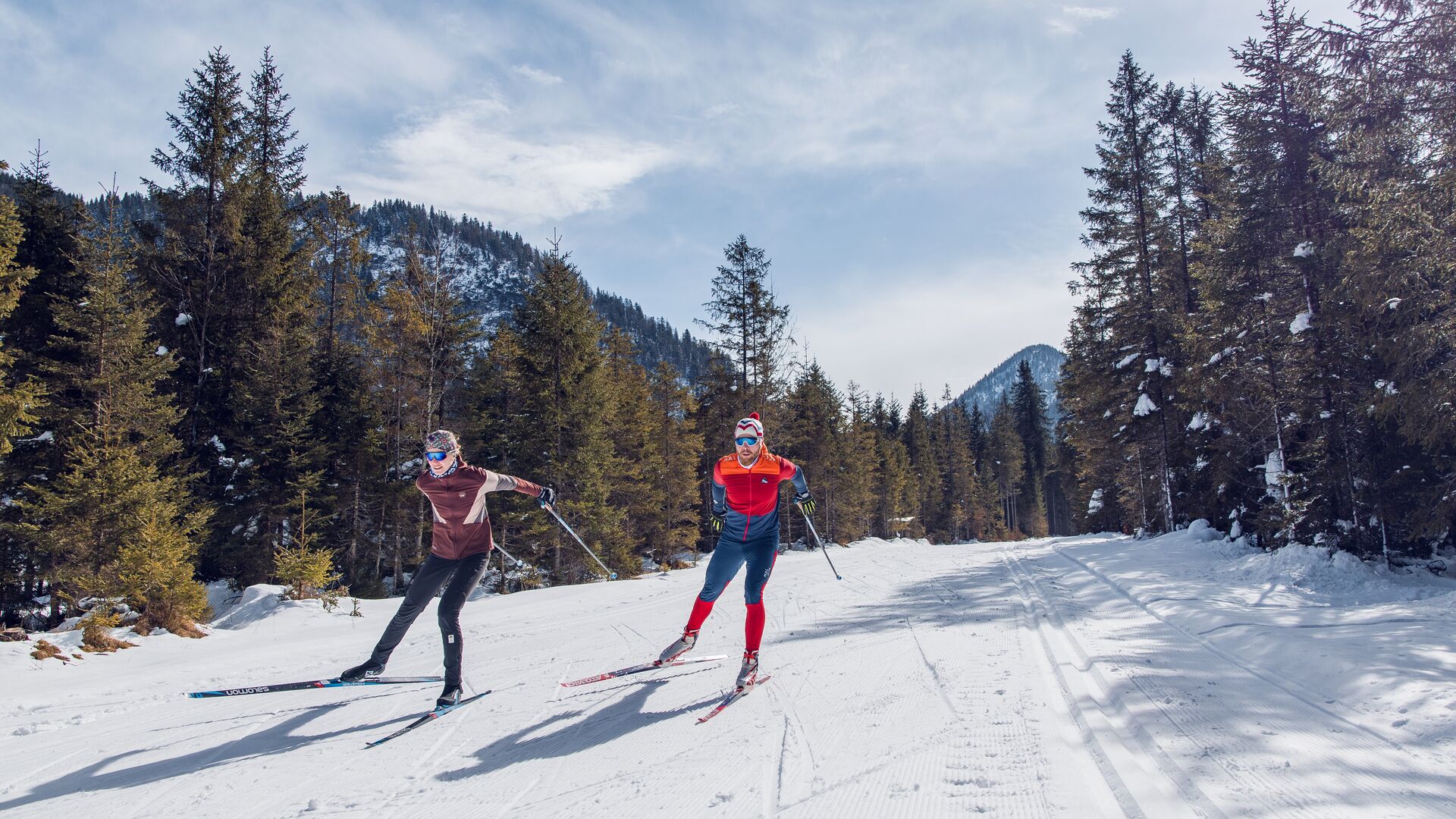
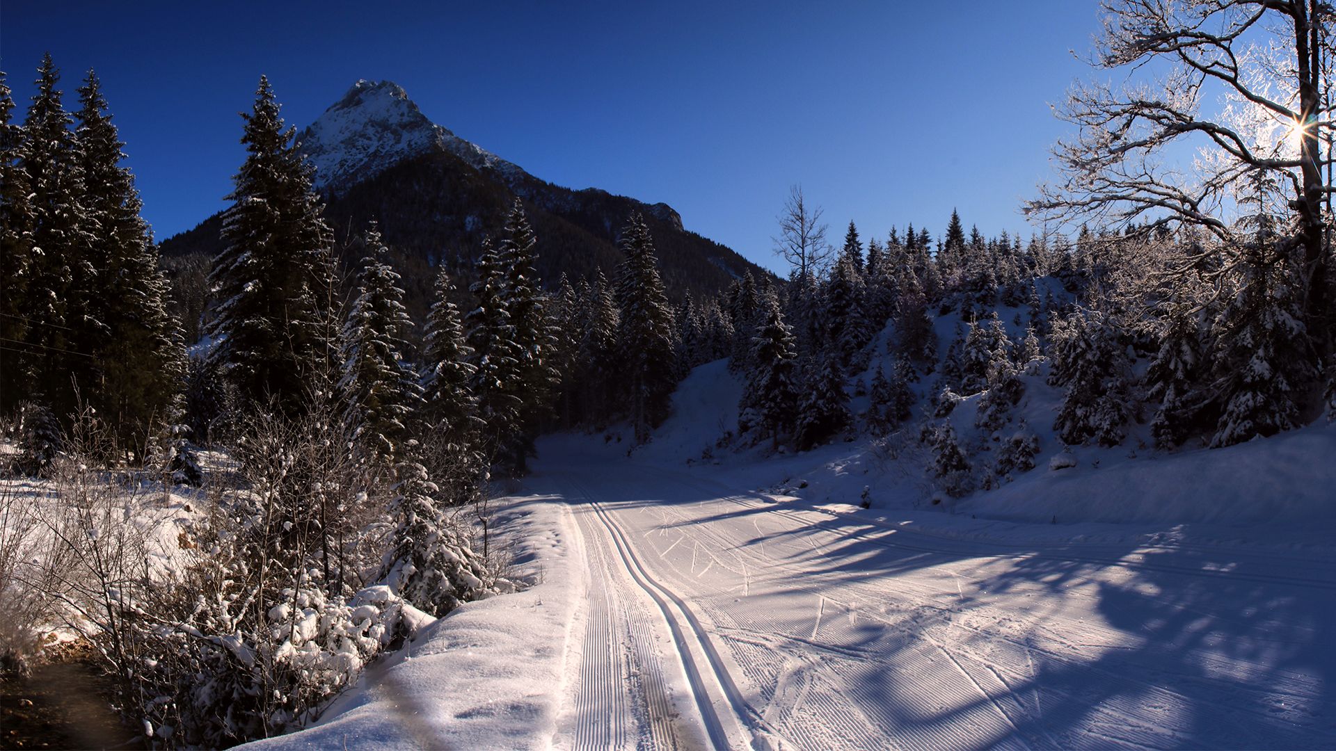
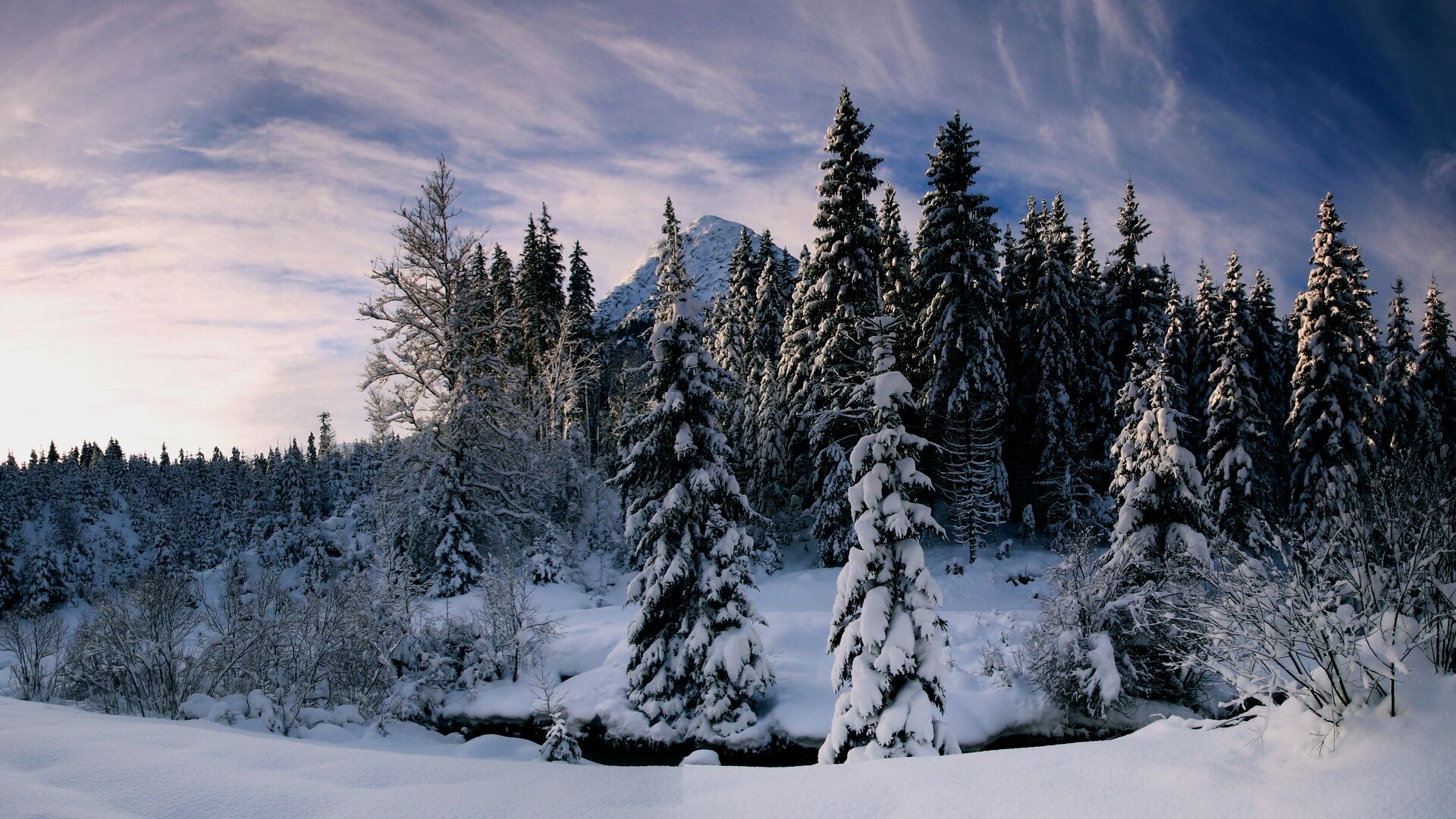
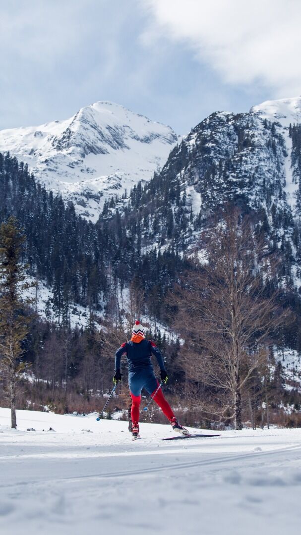
Guffert trail
Important Infomation
🔖
Route Length
9 km
🖈
Snowed
No
🞽
Difficulty
Medium
🕮
Start Height
1000 hm
🝂
Target Height
962 hm
🞍
Highest Point
1095 hm
🜏
Elevation Gain
160 hm
🅔
Biathlon
No
Elevation Profile
Description
The Guffert trail connects the villages of Steinberg and Achenkirch. The long, demanding route takes cross-country skiers through the meadows and forests of Steinberg. Alternatively, after approx. 4 kilometres, the route can be combined with the challenging Pulverer Mahd trail. The trail descends gently to Achenkirch, interrupted by a short climb in the final stage.