Grünangerl Runde
Important Infomation
🔖
Route Length
6 km
🜏
Elevation Gain
95 hm
🞍
Highest Point
655 hm
🔲
Elevation Loss
95 hm
🞽
Difficulty
Easy
Starting Point: Wiesing, village centre
End Point: Wiesing, village centre
Elevation Profile
Description
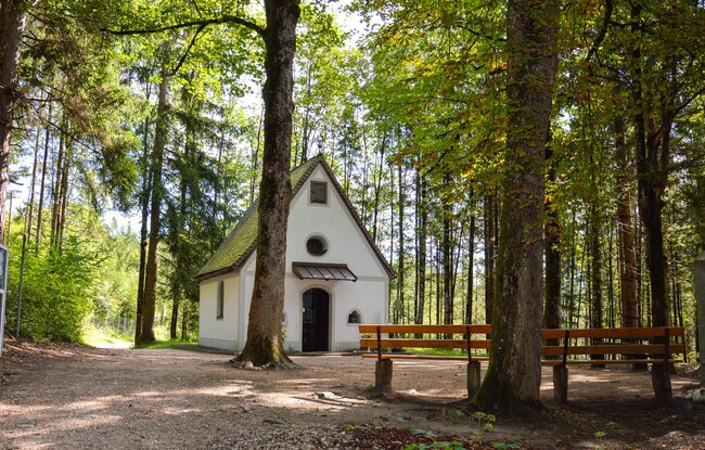
From the village centre of Wiesing, the trail leads past some groups of houses and then along a forest path to the neighbouring community of Münster. As soon as you arrive, the route takes you back to Wiesing on another forest path.