Große Dorfrunde Maurach
Important Infomation
Elevation Profile
Description
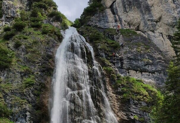
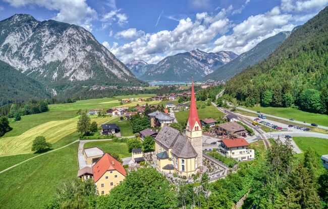
From the SEE-Bad of the Atoll Achensee, the route first leads along the lake, then past the Dalfaz waterfall via the districts of Rofangarten and Neumaurach. Continue along the St. Notburga panoramic trail until you reach the parish church in Eben. From here, the route leads back to the starting point over fields and meadows.


