Gramai Alm - Lamsenjochhütte - Gramai Alm
Important Infomation
🔖
Route Length
7.9 km
🜏
Elevation Gain
680 hm
🞍
Highest Point
1953 hm
🔲
Elevation Loss
680 hm
Time Uphill
02:15 h
Time Downhill
01:45 h
🏀
Route Time Total
04:00 h
🞽
Difficulty
Medium
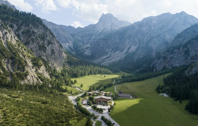
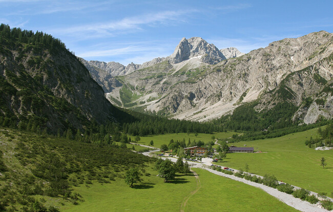
Starting Point: Pertisau, Gramai Alm
End Point: Pertisau, Gramai Alm
Elevation Profile
Description
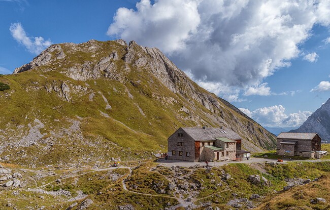
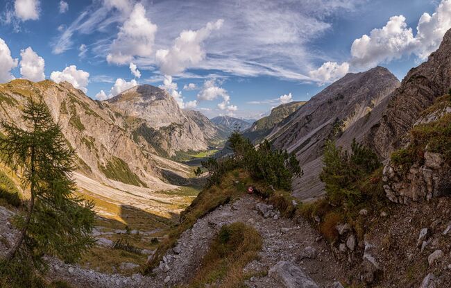
From the Gramai Alm mountain hut (1,263 metres), walk to the Gramaigrund where a gravel path climbs steeply to the Lamsenjochhütte mountain hut (1,953 metres). The return is via the same route.