Gramai Alm - Gramai Hochleger - Sonnjoch - Gramai Alm
Important Infomation
🔖
Route Length
10.8 km
🜏
Elevation Gain
1200 hm
🞍
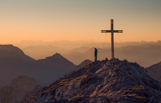
Highest Point
2457 hm
🔲
Elevation Loss
1200 hm
Time Uphill
03:30 h
Time Downhill
03:00 h
🏀
Route Time Total
06:30 h
🞽
Difficulty
Hard
Starting Point: Pertisau, Gramai Alm
End Point: Pertisau, Gramai Alm
Elevation Profile
Description
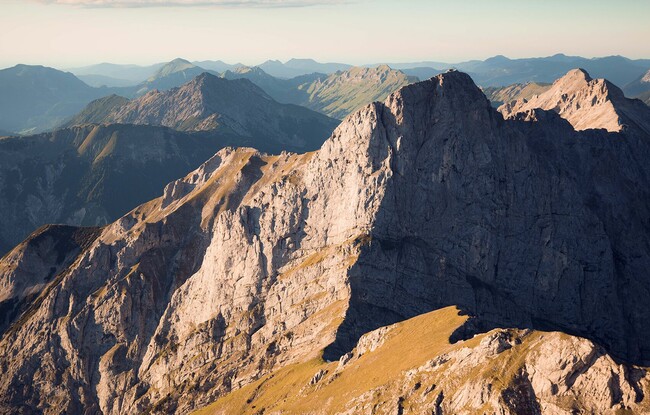
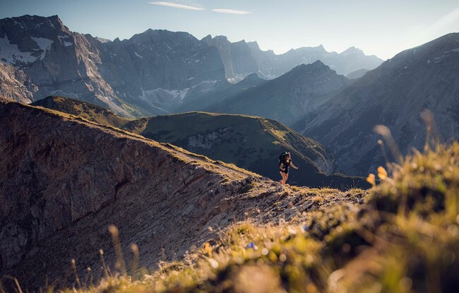
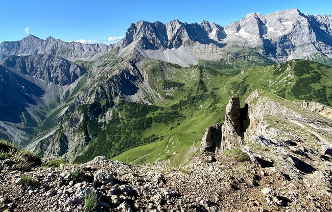
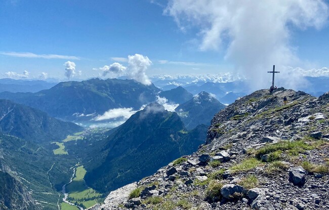
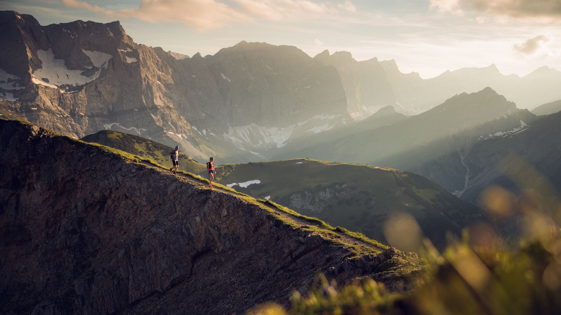
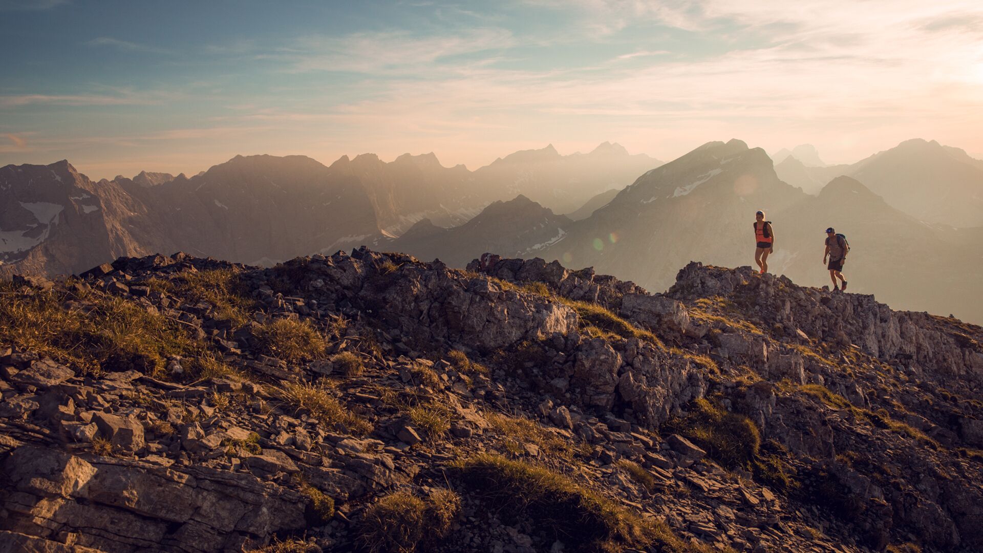
From the Gramai Alm mountain hut, walk to the Gramai Hochleger (1,756 metres). Turn right and follow the trail across the pastures, then climb between mountain pines over the ridge and the steep mountan flank to the peak ridge of the Sonnjoch (2,457 metres). The return is via the same route.