Gern Alm - Montscheinspitze - Gern Alm
Important Infomation
🔖
Route Length
13.4 km
🜏
Elevation Gain
1125 hm
🞍
Highest Point
2106 hm
🔲
Elevation Loss
1135 hm
Time Uphill
04:15 h
Time Downhill
04:00 h
🏀
Route Time Total
08:15 h
🞽
Difficulty
Hard
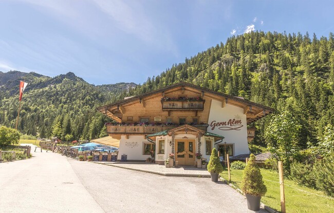
Starting Point: Pertisau, Gern Alm
End Point: Pertisau, Gern Alm
Route Type: Roundtrip
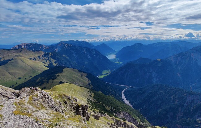
Elevation Profile

Description
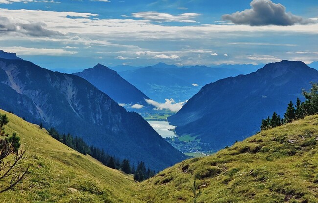
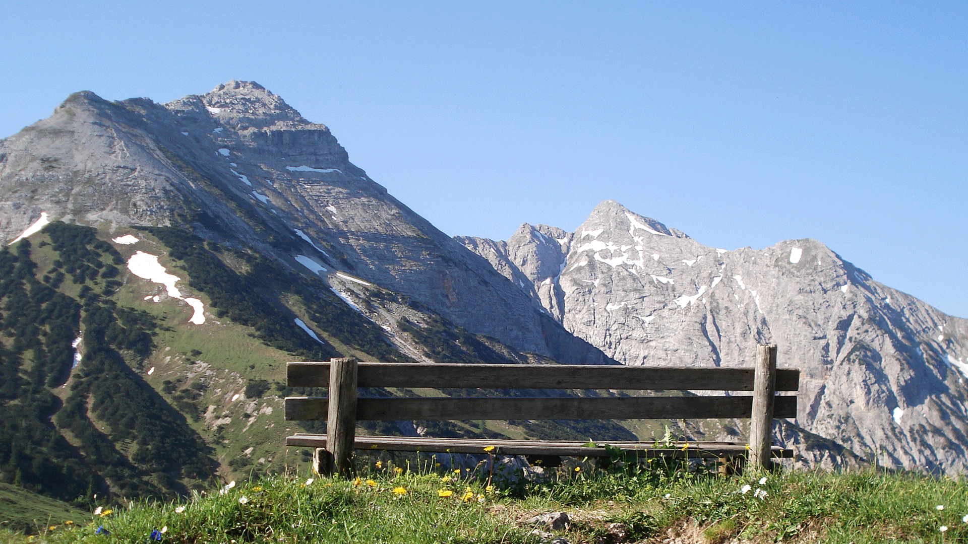
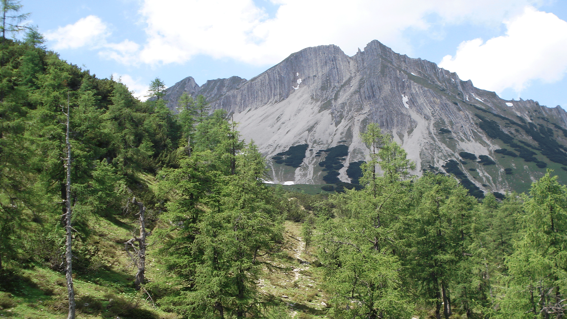
From the Gern Alm (1,172 metres), walk in the direction of the Plumsjochhütte. Follow the trail to the Plumsjoch as it climbs over some very steep sections across the flank to the summit ridge (2,106 metres). From here, walk to the Schleimssattel from where a steep switchback trail descends back to the Gerntal. This tour requires sure-footedness and a head for heights! The route can be walked in either direction.