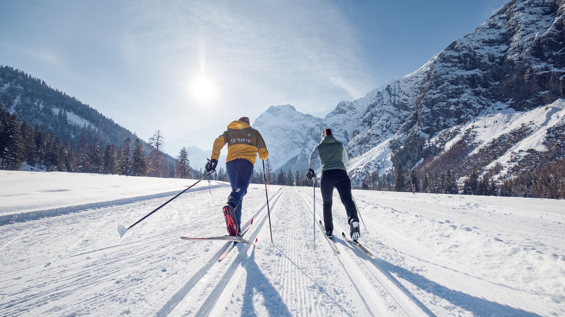
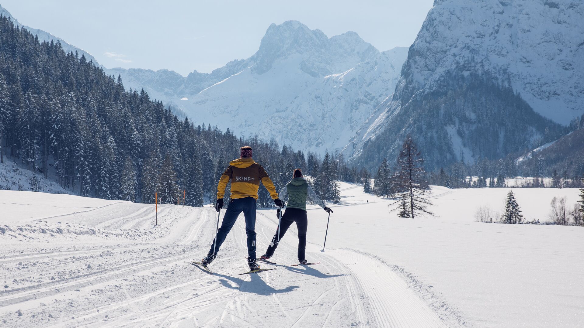
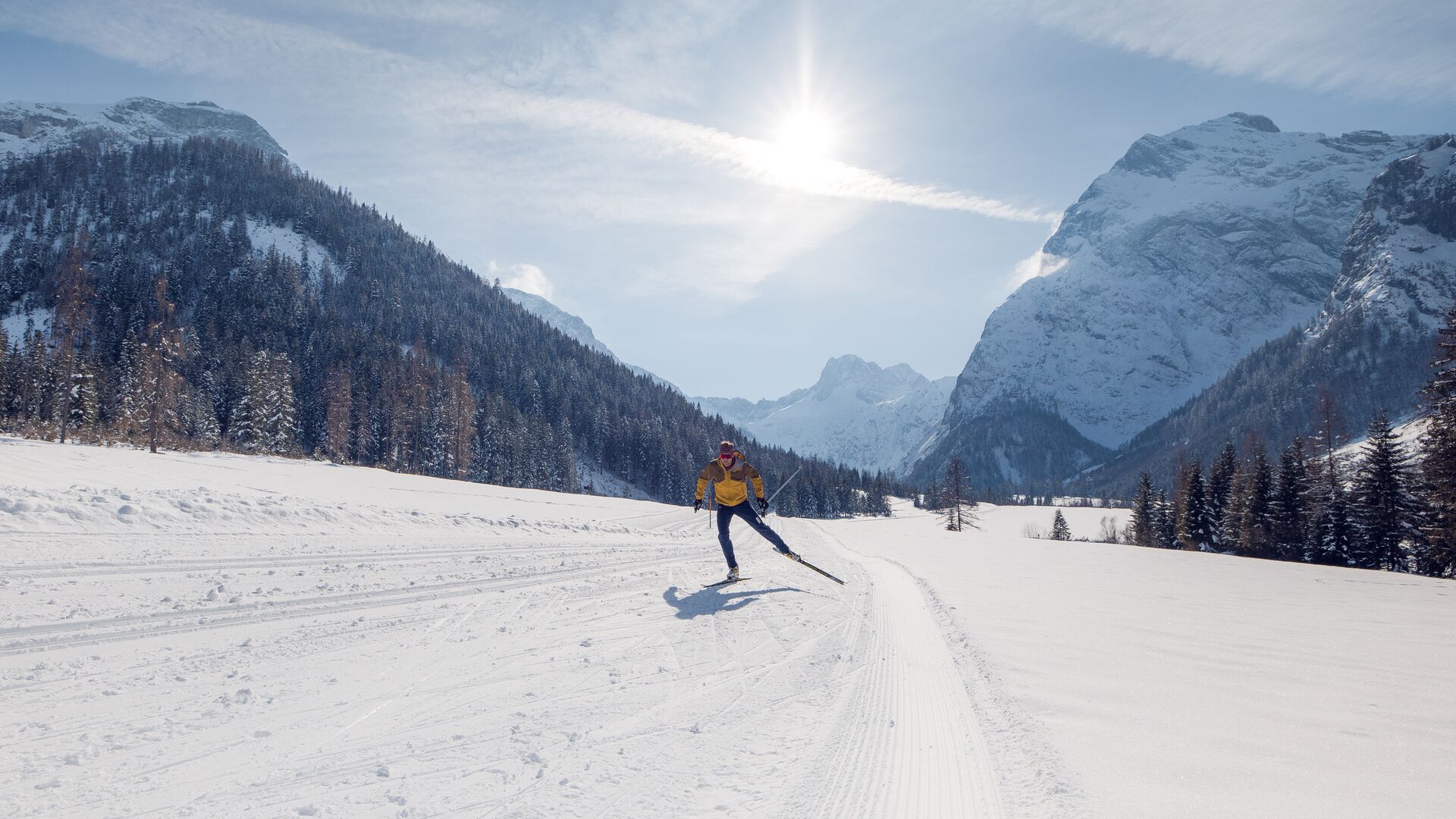
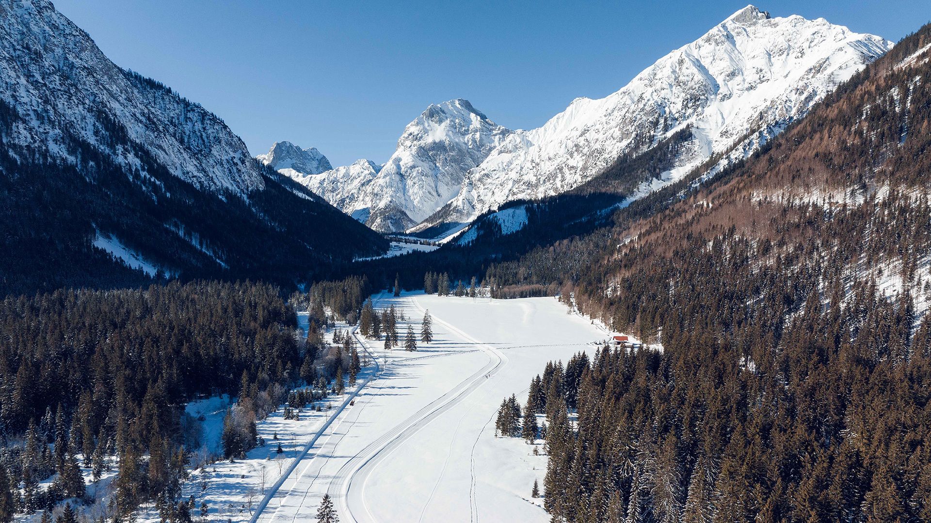
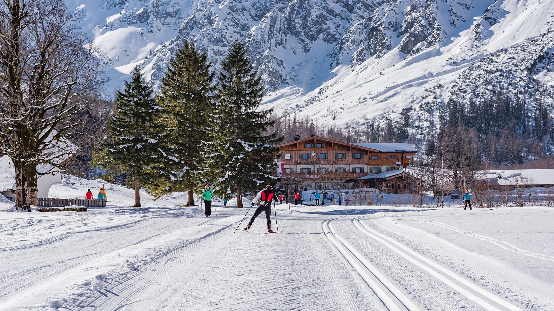
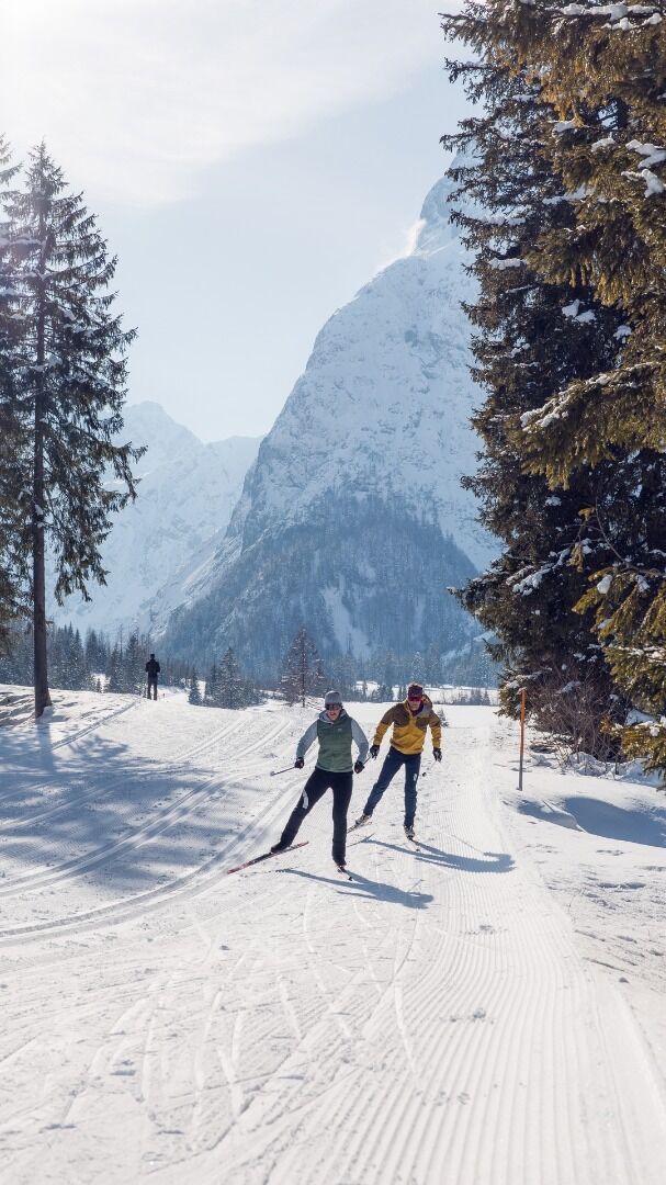
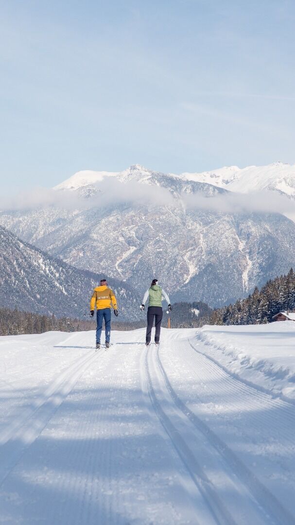
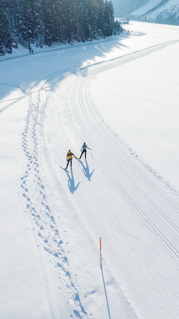
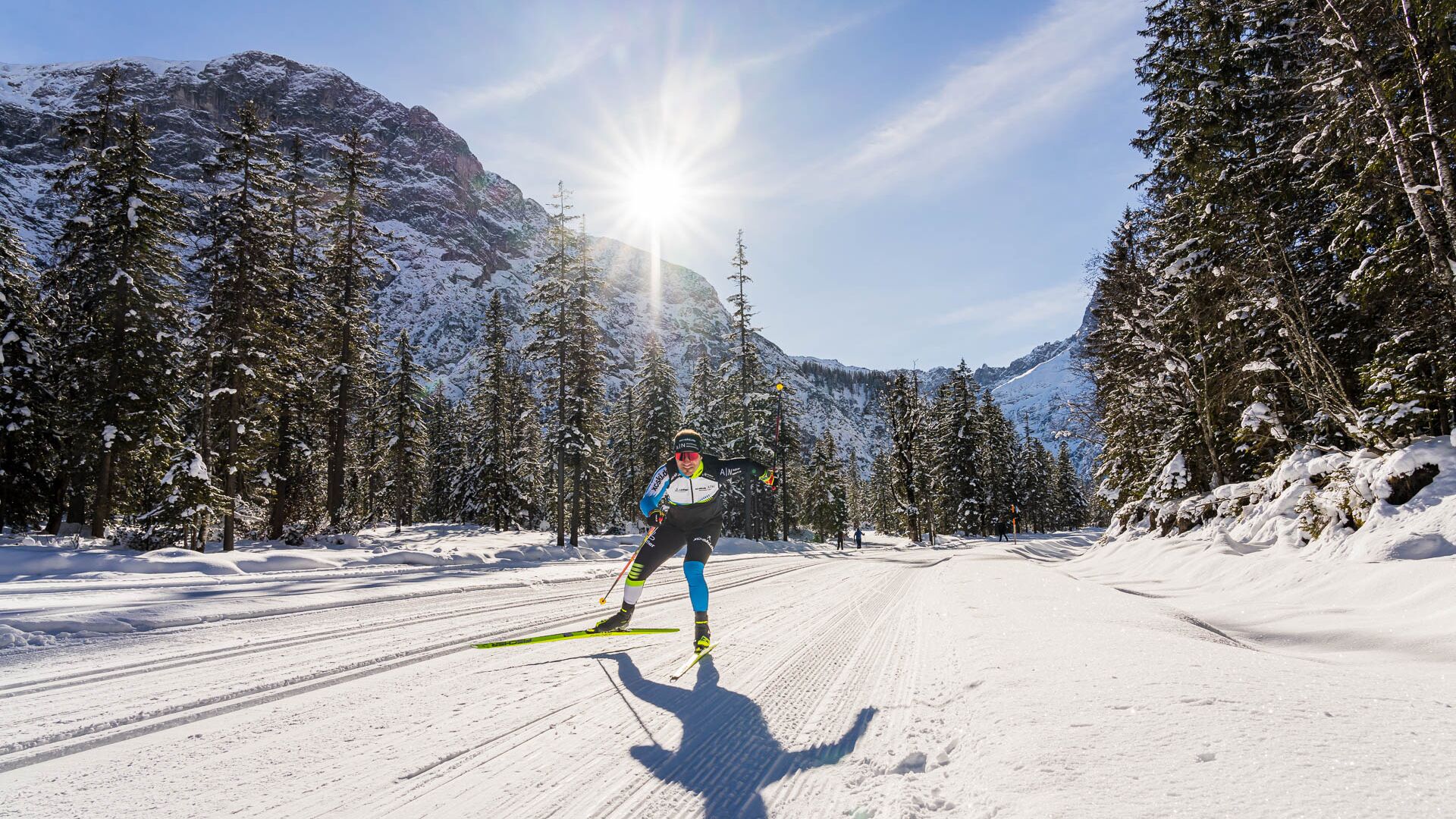
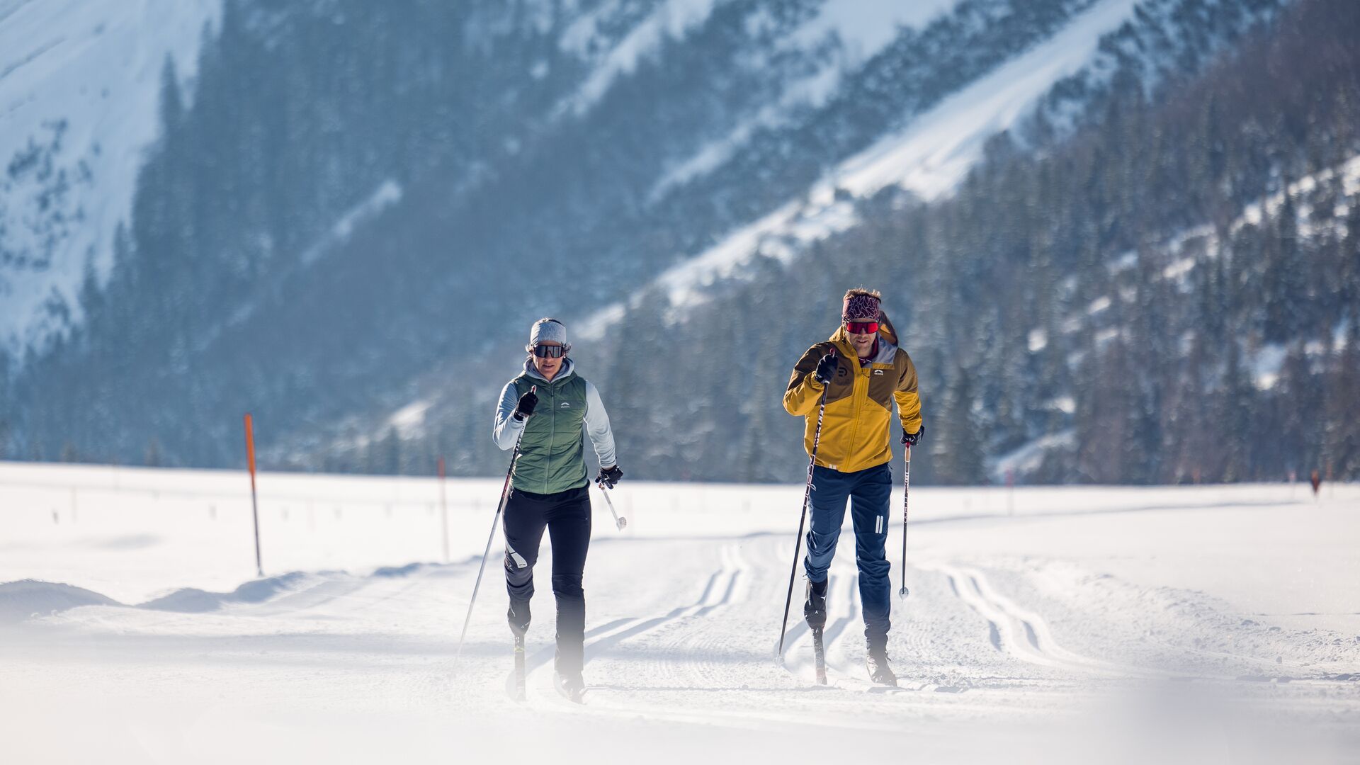
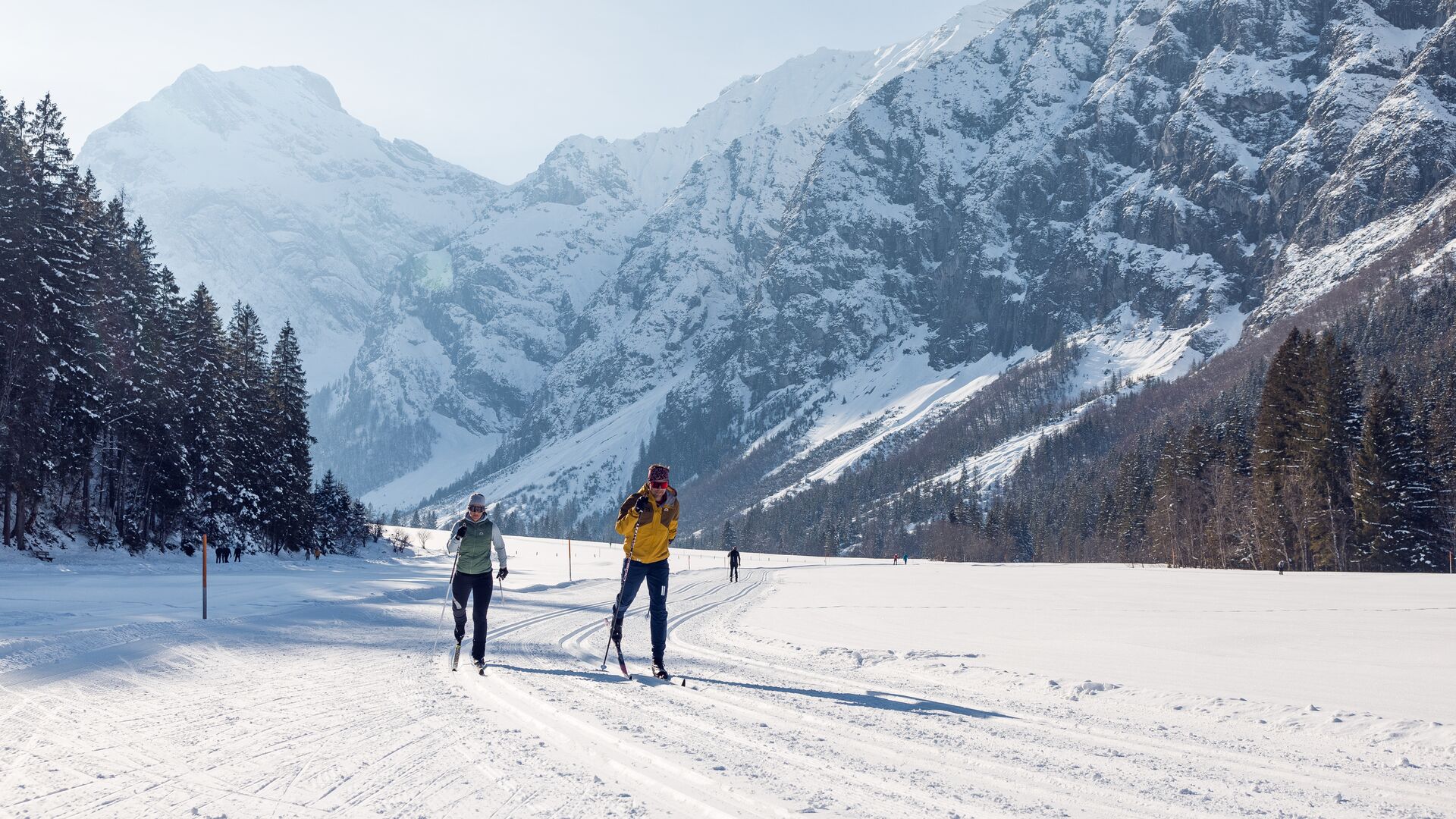
Falzthurn-Gramai trail
Important Infomation
🔖
Route Length
14 km
🖈
Snowed
Yes
🞽
Difficulty
Medium
🕮
Start Height
972 hm
🝂
Target Height
972 hm
🞍
Highest Point
1263 hm
🜏
Elevation Gain
285 hm
🅔
Biathlon
No
Elevation Profile
Description
The trail leads into the valley on the left-hand side, climbing steadily through the forest at the beginning and, after crossing a bridge, over the sweeping meadows surrounding the Falzthurn pastures (serviced). From there, the route climbs to the Gramai Alm (serviced). The return route descends rapidly to the starting point. Suitable for adaptive cross-country skiing.