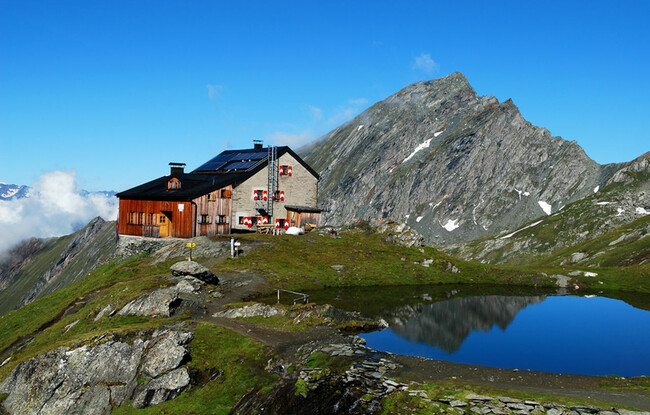
Eagle Walk Stage O7: Sudetendeutsche Hütte - Kalser Tauernhaus
Important Infomation
Elevation Profile
Description
trail description: From Sudetendeutsche Hut, walk past the memorial cross and the tiny lake, heading uphill along grassy slopes and mossy hollows to the outlets of Gradötzkees Glacier, where you will find another tiny lake, a jewel cradled in a talus bowl, a glacial cirque created in eons past. Be sure to note the forces of glaciation. Now follow the trail as it heads upward towards Gradötzsattel Col (elev. 2,826m), before dropping down to so-called Bloipalfen (elev. 2,684m). From there, the trail descends over meadows with rocky outcrops and jagged cliffs. At an elevation of about 2,500 metres, Silesia Trail branches off to the left. If you've got time, take this nice and short detour for rocky and jagged Muntanitzschneid, offering dramatic views of the surrounding peaks. The Eagle Walk continues to the right and eventually reaches Muntanitzbach Creek, that is unbridged and difficult to negotiate even in dry periods. When the water is flowing at full volume, the crossing might require a slippery, boots off, knee-high fording. Slightly above Ochsenalm Alpine pasture, the trail rounds the spine of Muntanitzschneid. The trail is well-defined on pretty sound tread, with rugged terrain in places. After dropping down tussock slopes, the trail heads north through a grove of stone pines. At the bridge crossing Stotzbach Brook is a sign. Look for the signpost slightly below, signed 514 A. That's where the trail descends to Kalser Tauernhaus Lodge. The trail starts switch-backing downwards along Wilhelm-Ernst-Trail through stands of alders, ashes and larches, passing the National Park Lookout. Take a moment to appreciate the water of Stotzbach Brook that tumbles down over the jagged rocks and cliffs of glacial erratics, from a time when this area was covered by ice, to feed the creek below. When the trail finally pops out onto the valley floor, cross Dorferbach Creek and you’ve got just a little journey to your destination, Kalser Tauernhaus Lodge at an elevation of 1,755 metres. The lodge is situated at Inner Dorfertal Valley, slightly beneath the place where Stotzbach Brook empties into Dorferbach Creek.