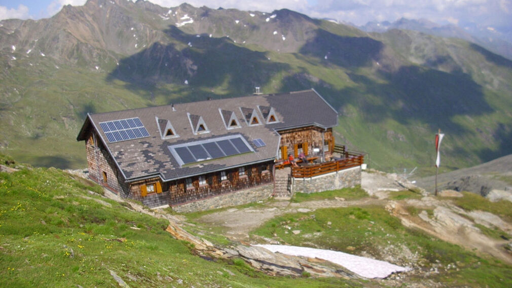
Eagle Walk Stage O4: Bonn-Matreier Hütte - Badener Hütte
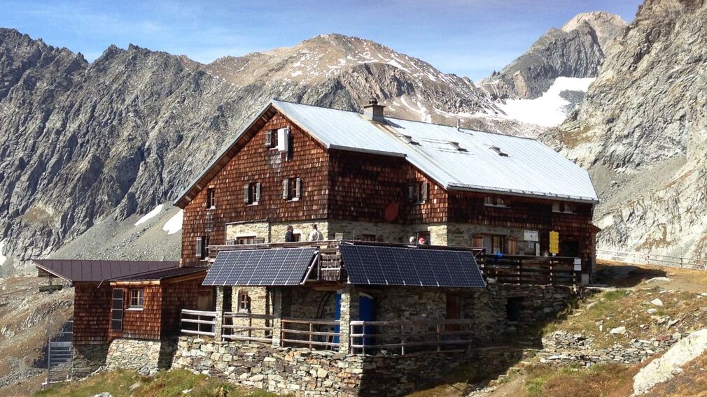
trail description: From Bonn-Matreier Hut, walk up for about 10 minutes and take the right fork at the signpost. Traverse a rocky trough on your way to the slanting, jagged crags of Kälberscharte Crest (elev. 2,791m). The trail up both sides of the crest, the crossing into Kleines Niltal Valley and the steep climb atop Galtenscharte Notch are assisted by stone steps and a fixed anchoring system of cables, making it relatively easy to negotiate. From the notch, the trail drops down 600 metres, steeply and demanding, to reach Mailfroßnitzbach Creek. The upper section of the steep tread is assisted by a fixed anchoring system of cables; snow may remain until summer in the steep middle section. If the tread is snow-free, the trail is well-defined. When you reach the creek, the steep grade lessens. The trail continues some 40 metres beneath the bridge across Mailfroßnitzbach Creek and heads north high above Froßnitztal Valley along the grassy slopes of Hohe Achsel Peak. The terrain varies greatly, passing rivulets and streams; some sections are assisted by a fixed anchoring system of cables. You'll get to explore a quiet little tarn set in a moraine-scoured cirque at the head of Achsel. This is where the Venediger High Trail intercepts the Valley Trail. The route proceeds towards “Badener Hütte”, traversing lateral moraines and eventually crossing Froßnitzbach Creek on a footbridge. Amble along ridges and through hollows, and thrill at the views, both at your feet and off to the horizon. Watch for white-tailed ptarmigans, a member of the grouse family that makes this beautiful but harsh Alpine environment its home. Eventually, you’ll get to the lateral moraine of Froßnitzkees Glacier; bear right and continue walking to reach the destination of this walk, Badener Hut at Großvenediger Mountain, situated at an elevation of 2,608 metres.