Eagle Walk Stage O2: Johannishütte - Eisseehütte
Important Infomation
Elevation Profile
Description
trail description: Leaving Johannis Hut, a steep zigzag path climbs south-eastward up grassy slopes, then forks. The left branch is the route of the Venediger High Trail that coincides with the Eagle Walk in this section. The trail turns east through a stony corrie, still climbing with magnificent high mountain views, to reach Zopetkante Notch. Given settled weather, this narrow pass is a splendid place on which to sit and absorb the untamed nature of the mountains, before descending steeply (some cable safeguards) down to boulder slopes marked with occasional rock cairns. The descent offers views of Großvenediger, with ice glistening in the sun. When you break into a high valley after approximately one hour of walking, bear southward and follow signage to “Sajatscharte”. Upon traversing a boulder field, the trail gets down to business, switchbacking up a steep flank, assisted by a fixed anchoring system of cables. You will find yourself scrambling to get across Schernersschlucht Gorge. The last rocky run will tax your strength and endurance, but finally you'll be atop Sajatscharte Notch. Take a good long rest before starting the knee-grinding 30-minute descent down to Sajat Hut.
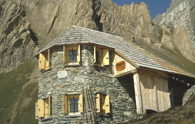
You’ll walk down a steep, debris-filled chute first, before proceeding on sandy terrain on foot of Rote Säule Peak. Eventually, wander across a grassy slope to reach Sajat Hut (elev. 2,575m). Sajat Hut provides the perfect rest stop for hikers. Once replete and replenished, follow the Prägraten High Trail towards Eissee Hut. This route links Sajat Hut with Eissee Hut, without having to descend to the valley floor. Leaving Sajat Hut, aim eastward and round the southeast ridge of Vorderer Sajatkopf Peak at the so-called “window”. From there, the trail heads northward and traverses a few chutes and gullies; they are quite easy to negotiate as there is a fixed anchoring system of cables. Ascend via a steep path that is moderated with switchbacks at times. Continue walking across Inner Timmeltal Valley until you reach “Hinteres Wiesach”, where the steep grade lessens. Cross Timmelbach Creek and wander across meadows to reach quaint and lovely Eissee Hut (elev. 2,521m).