Bergstation Rofan Seilbahn - Sagzahn - Vorderes Sonnwendjoch - Bergstation Rofan Seilbahn
Important Infomation
🔖
Route Length
11.8 km
🜏
Elevation Gain
830 hm
🞍
Highest Point
2228 hm
🔲
Elevation Loss
830 hm
Time Uphill
02:30 h
Time Downhill
03:00 h
🏀
Route Time Total
05:30 h
🞽
Difficulty
Hard
Starting Point: Maurach, top station Rofan cable car
End Point: Maurach, top station Rofan cable car
Route Type: Roundtrip
Elevation Profile

Description
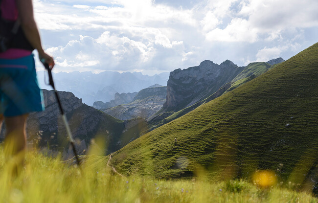
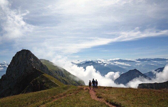
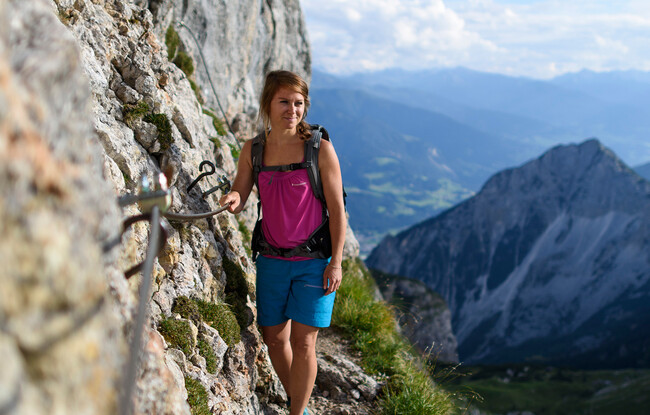
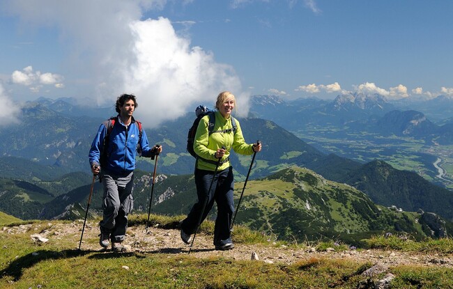
From the top station of the Rofan cable car, follow the trail to the Grubascharte and continue to the Schafsteigsattel. Turn towards the steep southern rocky crags of the Sagzahn and follow the trail which is relatively flat to the rock face. First climb through a chimney which is secured with a steel cable and then walk over a somewhat steeper alpine meadow until you reach the Sagzahn. From the summit of the Sagzahn, a safer trail takes you to the summit cross of the Vordere Sonnwendjoch. From here, descend to the Schermsteinalm (not serviced) and continue in the direction of Krahnsattel until you arrive at the top station of the Rofan cable car.