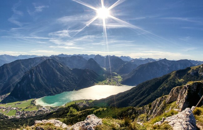
Bergstation Rofan Seilbahn - Rotspitz - Streichkopf - Hochiss - Bergstation Rofan Seilbahn
Important Infomation
🔖
Route Length
7.5 km
🜏
Elevation Gain
665 hm
🞍
Highest Point
2299 hm
🔲
Elevation Loss
665 hm
Time Uphill
02:30 h
Time Downhill
01:30 h
🏀
Route Time Total
04:00 h
🞽
Difficulty
Hard
Starting Point: Maurach, top station Rofan cable car
End Point: Maurach, top station Rofan cable car
Route Type: Roundtrip
Elevation Profile


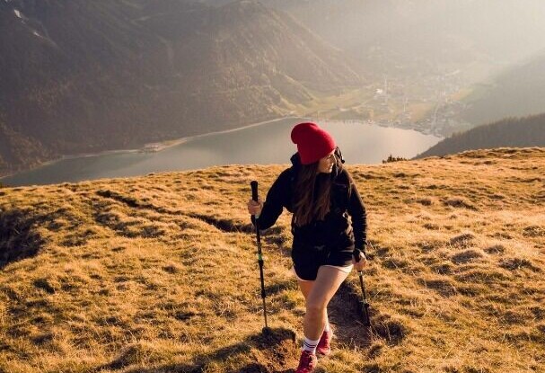


Description
From the top station of the Rofan cable car, walk in the direction of the Dalfaz Alm. About halfway to the mountain hut, a signposted trail branches off to the Rotspitz. After a short detour to the summit of the Rotspitz, follow the trail on the crest of the Dalfaz walls along the ridge. From the Streichkopf, the trail leads via the Rote Kamml (secured with ropes) to the summit of the Hochiss. From here, take the direct route back to the Rofan cable car.